Area Overview for NR3 4JS
Photos of NR3 4JS
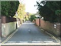

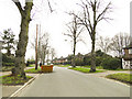

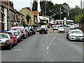
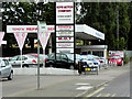
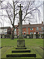
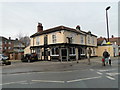
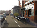
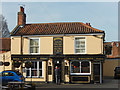
46 photos from this area
Area Information
Key information about the NR3 4JS including its size, population, and administrative classification.
- Area Type
- Postcode
- Area Size
- 2197 m²
- Population
- 1751
- Population Density
- 6370 people/km²
House Prices in NR3 4JS
18
Properties
£145,073
Average Sold Price
£21,000
Lowest Price
£350,000
Highest Price
Showing 18 properties
| Address | Type | Beds | Baths | Last Sale Price | Last Sale Date | |
|---|---|---|---|---|---|---|
| 36 Denmark Road, Norwich, NR3 4JS | Flat | - | 1 | £75,000 | Nov 2024 | |
| 52 Denmark Road, Norwich, NR3 4JS | Terraced | 2 | 2 | £230,000 | Oct 2024 | |
| 40 Denmark Road, Norwich, NR3 4JS | Terraced | 2 | 2 | £270,000 | Aug 2024 | |
| 48 Denmark Road, Norwich, NR3 4JS | house | 1 | 1 | £296,500 | Nov 2022 | |
| 60 Denmark Road, Norwich, NR3 4JS | Terraced | 4 | 1 | £350,000 | Oct 2019 | |
| 38 Denmark Road, Norwich, NR3 4JS | Flat | 1 | 1 | £95,000 | Aug 2018 | |
| 42 Denmark Road, Norwich, NR3 4JS | Terraced | 1 | - | £125,000 | Jan 2014 | |
| 46 Denmark Road, Norwich, NR3 4JS | Terraced | 2 | - | £143,000 | Oct 2013 | |
| 34 Denmark Road, Norwich, NR3 4JS | Flat | 1 | 1 | £86,500 | Apr 2007 | |
| 58 Denmark Road, Norwich, NR3 4JS | Terraced | 3 | 1 | £134,950 | May 2006 |
Page 1 of 2
Energy Efficiency in NR3 4JS
Amenities
Schools
| Rank | School | Type | Entry gender | Ages |
|---|
Explore more schools in this area
Go to Schools tabDemographics
Household Size
One person
most common
Accommodation Type
Houses
most common
Tenure
56
majority
Ethnic Group
White
most common
Religion
N/A
most common
Household Composition
N/A
most common
Age
47
median
Adults (30-64 years)
most common
Household Deprivation
N/A
with no deprivation
NS-SEC
37
in Lower managerial occupations
Explore more demographic insights in this area
Go to Demographics tabPlanning
Planning Constraints
- Flood RiskPremium
- Ramsar Wetland SitesPremium
- Area of Outstanding Natural BeautyPremium
- Protected Nature ReservePremium
- Protected WoodlandPremium