Area Overview for NR29 5JX
Photos of NR29 5JX
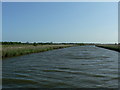
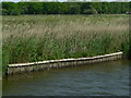
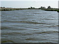
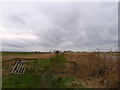
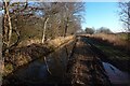
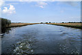
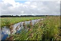
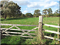
46 photos from this area
Area Information
Key information about the NR29 5JX including its size, population, and administrative classification.
- Area Type
- Postcode
- Area Size
- 18.4 hectares
- Population
- 1553
- Population Density
- 81 people/km²
House Prices in NR29 5JX
14
Properties
£179,714
Average Sold Price
£83,000
Lowest Price
£250,000
Highest Price
Showing 14 properties
| Address | Type | Beds | Baths | Last Sale Price | Last Sale Date | |
|---|---|---|---|---|---|---|
| Repps Riverholme, 73 Riverside, Repps With Bastwick, NR29 5JX | Bungalow | 3 | 2 | £233,000 | Nov 2025 | |
| Summerland, 81 Riverside, Repps With Bastwick, NR29 5JX | Bungalow | 1 | 1 | £205,000 | May 2021 | |
| Scoots Place, 72 Riverside, Repps With Bastwick, NR29 5JX | Bungalow | 3 | - | £250,000 | Aug 2020 | |
| Anglers Cottage, 77 Riverside, Repps With Bastwick, NR29 5JX | Bungalow | 2 | 1 | £195,000 | Sep 2019 | |
| Pilots Point, 78 Riverside, Repps With Bastwick, NR29 5JX | Bungalow | 2 | 1 | £157,000 | Dec 2016 | |
| Mill Reach, 76 Riverside, Repps With Bastwick, NR29 5JX | Bungalow | 2 | 1 | £135,000 | May 2013 | |
| Kingfisher, 79 Riverside, Repps With Bastwick, NR29 5JX | Detached | - | - | £83,000 | Aug 2008 | |
| Carlo, 70 Riverside, Repps With Bastwick, NR29 5JX | Land | 2 | 1 | - | - | |
| CHANGI, 68A RIVERSIDE, Repps with Bastwick, NR29 5JX | Detached | - | - | - | - | |
| 69 Riverside, Repps With Bastwick, NR29 5JX | Detached | 2 | 1 | - | - |
Page 1 of 2
Energy Efficiency in NR29 5JX
Amenities
Schools
| Rank | School | Type | Entry gender | Ages |
|---|
Explore more schools in this area
Go to Schools tabDemographics
Household Size
Two person
most common
Accommodation Type
Houses
most common
Tenure
82
majority
Ethnic Group
White
most common
Religion
N/A
most common
Household Composition
N/A
most common
Age
47
median
Adults (30-64 years)
most common
Household Deprivation
N/A
with no deprivation
NS-SEC
27
in Lower managerial occupations
Explore more demographic insights in this area
Go to Demographics tabPlanning
Planning Constraints
- Flood RiskPremium
- Ramsar Wetland SitesPremium
- Area of Outstanding Natural BeautyPremium
- Protected Nature ReservePremium
- Protected WoodlandPremium