Area Overview for NR28 9XQ
Photos of NR28 9XQ
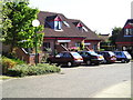
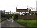
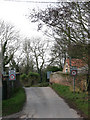
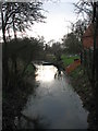
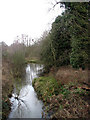
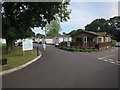
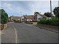
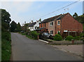
100 photos from this area
Area Information
Key information about the NR28 9XQ including its size, population, and administrative classification.
- Area Type
- Postcode
- Area Size
- 1.2 hectares
- Population
- 1354
- Population Density
- 1121 people/km²
House Prices in NR28 9XQ
22
Properties
£164,928
Average Sold Price
£53,950
Lowest Price
£350,000
Highest Price
Showing 22 properties
| Address | Type | Beds | Baths | Last Sale Price | Last Sale Date | |
|---|---|---|---|---|---|---|
| 19 Fern Drive, North Walsham, NR28 9XQ | house | 3 | 1 | £230,000 | Sep 2025 | |
| 14 Fern Drive, North Walsham, NR28 9XQ | Bungalow | - | - | £350,000 | Feb 2023 | |
| 17 Fern Drive, North Walsham, NR28 9XQ | Bungalow | - | - | £325,000 | Sep 2022 | |
| 16 Fern Drive, North Walsham, NR28 9XQ | Detached | 4 | 2 | £280,000 | Aug 2020 | |
| 5 Fern Drive, North Walsham, NR28 9XQ | Semi-detached | 3 | 1 | £182,500 | Nov 2019 | |
| 15 Fern Drive, North Walsham, NR28 9XQ | Semi-detached | 3 | - | £175,000 | Mar 2016 | |
| 8 Fern Drive, North Walsham, NR28 9XQ | Bungalow | - | - | £154,950 | Jun 2015 | |
| 22 Fern Drive, North Walsham, NR28 9XQ | Bungalow | 3 | - | £184,000 | Feb 2014 | |
| 13 Fern Drive, North Walsham, NR28 9XQ | house | 3 | - | £147,000 | Nov 2013 | |
| 2 Fern Drive, North Walsham, NR28 9XQ | Bungalow | 2 | - | £125,000 | Apr 2012 |
Page 1 of 3
Energy Efficiency in NR28 9XQ
Amenities
Schools
| Rank | School | Type | Entry gender | Ages |
|---|
Explore more schools in this area
Go to Schools tabDemographics
Household Size
Two person
most common
Accommodation Type
Houses
most common
Tenure
71
majority
Ethnic Group
White
most common
Religion
N/A
most common
Household Composition
N/A
most common
Age
47
median
Adults (30-64 years)
most common
Household Deprivation
N/A
with no deprivation
NS-SEC
26
in Lower managerial occupations
Explore more demographic insights in this area
Go to Demographics tabPlanning
Planning Constraints
- Flood RiskPremium
- Ramsar Wetland SitesPremium
- Area of Outstanding Natural BeautyPremium
- Protected Nature ReservePremium
- Protected WoodlandPremium