Area Overview for NR28 9NZ
Photos of NR28 9NZ
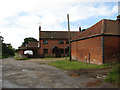
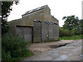
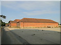

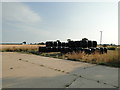
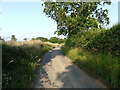
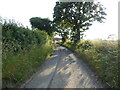
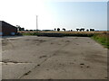
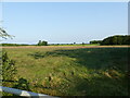
24 photos from this area
Area Information
Key information about the NR28 9NZ including its size, population, and administrative classification.
- Area Type
- Postcode
- Area Size
- 14.6 hectares
- Population
- 2361
- Population Density
- 67 people/km²
House Prices in NR28 9NZ
10
Properties
£573,350
Average Sold Price
£326,950
Lowest Price
£1,110,000
Highest Price
Showing 10 properties
| Address | Type | Beds | Baths | Last Sale Price | Last Sale Date | |
|---|---|---|---|---|---|---|
| Beech Cottage, Heath Road, Ridlington, NR28 9NZ | house | 4 | 3 | £550,000 | Oct 2023 | |
| The Old Rectory, Heath Road, Ridlington, NR28 9NZ | Detached | - | - | £1,110,000 | Jan 2021 | |
| Stacy Barn, Heath Road, Ridlington, NR28 9NZ | house | - | - | £642,000 | Jan 2021 | |
| Manor House, Heath Road, Ridlington, NR28 9NZ | house | 6 | - | £640,000 | Sep 2012 | |
| The Birches, Heath Road, Ridlington, NR28 9NZ | Bungalow | 7 | 3 | £326,950 | Oct 2009 | |
| Brooke House, Heath Road, Ridlington, NR28 9NZ | Bungalow | 3 | 2 | £335,000 | Jul 2008 | |
| The Oaks, Heath Road, Ridlington, NR28 9NZ | Detached | - | - | £409,500 | Apr 2008 | |
| The Garden Room, The Old Rectory, Heath Road, Ridlington, NR28 9NZ | house | - | - | - | - | |
| Tennis 47M From Stacy Barn, Heath Road 26M From Unnamed Road, Heath Road, Ridlington, NR28 9NZ | Leisure | - | - | - | - | |
| Pine Lodge, Heath Road, Ridlington, NR28 9NZ | Detached | - | - | - | - |
Energy Efficiency in NR28 9NZ
Amenities
Schools
| Rank | School | Type | Entry gender | Ages |
|---|
Explore more schools in this area
Go to Schools tabDemographics
Household Size
Two person
most common
Accommodation Type
Houses
most common
Tenure
74
majority
Ethnic Group
White
most common
Religion
N/A
most common
Household Composition
N/A
most common
Age
47
median
Adults (30-64 years)
most common
Household Deprivation
N/A
with no deprivation
NS-SEC
29
in Lower managerial occupations
Explore more demographic insights in this area
Go to Demographics tabPlanning
Planning Constraints
- Flood RiskPremium
- Ramsar Wetland SitesPremium
- Area of Outstanding Natural BeautyPremium
- Protected Nature ReservePremium
- Protected WoodlandPremium