Area Overview for NR28 9LP
Photos of NR28 9LP
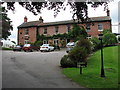
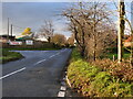
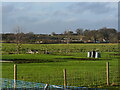
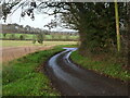
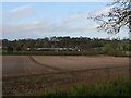
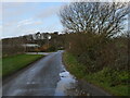
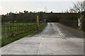
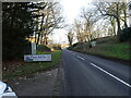
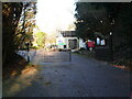
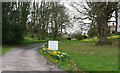
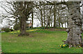
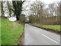
34 photos from this area
Area Information
Key information about the NR28 9LP including its size, population, and administrative classification.
- Area Type
- Postcode
- Area Size
- 52.8 hectares
- Population
- 1180
- Population Density
- 351 people/km²
House Prices in NR28 9LP
26
Properties
£299,500
Average Sold Price
£188,500
Lowest Price
£460,000
Highest Price
Showing 26 properties
| Address | Type | Beds | Baths | Last Sale Price | Last Sale Date | |
|---|---|---|---|---|---|---|
| The Cottage, Holgate Road, White Horse Common, NR28 9LP | Detached | 5 | 2 | £460,000 | May 2020 | |
| The Gables, Holgate Road, White Horse Common, NR28 9LP | Bungalow | 4 | 1 | £365,000 | May 2018 | |
| The Coppice, Holgate Road, White Horse Common, NR28 9LP | Bungalow | - | - | £355,000 | Feb 2018 | |
| Bells Cottage, Holgate Road, White Horse Common, NR28 9LP | house | - | - | £382,000 | Jan 2018 | |
| Rowan Garth, Holgate Road, White Horse Common, NR28 9LP | Detached | 3 | - | £192,000 | Apr 2017 | |
| The Corner House, Holgate Road, White Horse Common, NR28 9LP | Semi-detached | 3 | 1 | £188,500 | Mar 2017 | |
| White Horse Lodge, Holgate Road, White Horse Common, NR28 9LP | Detached | 4 | - | £285,000 | May 2015 | |
| Garden House, Holgate Road, White Horse Common, NR28 9LP | Detached | - | - | £225,000 | Jan 2015 | |
| Holgate End, Holgate Road, White Horse Common, NR28 9LP | Detached | 4 | - | £237,500 | Jun 2013 | |
| The White House, Holgate Road, White Horse Common, NR28 9LP | Detached | 3 | 1 | £249,000 | Jun 2013 |
Page 1 of 3
Energy Efficiency in NR28 9LP
Amenities
Schools
| Rank | School | Type | Entry gender | Ages |
|---|
Explore more schools in this area
Go to Schools tabDemographics
Household Size
Two person
most common
Accommodation Type
Houses
most common
Tenure
86
majority
Ethnic Group
White
most common
Religion
N/A
most common
Household Composition
N/A
most common
Age
47
median
Elderly (65+ years)
most common
Household Deprivation
N/A
with no deprivation
NS-SEC
33
in Lower managerial occupations
Explore more demographic insights in this area
Go to Demographics tabPlanning
Planning Constraints
- Flood RiskPremium
- Ramsar Wetland SitesPremium
- Area of Outstanding Natural BeautyPremium
- Protected Nature ReservePremium
- Protected WoodlandPremium