Area Overview for NR28 9JX
Photos of NR28 9JX
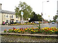
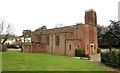
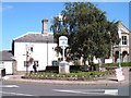
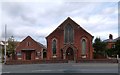

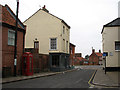
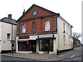
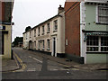
100 photos from this area
Area Information
Key information about the NR28 9JX including its size, population, and administrative classification.
- Area Type
- Postcode
- Area Size
- 1.1 hectares
- Population
- 1922
- Population Density
- 1133 people/km²
House Prices in NR28 9JX
30
Properties
£133,844
Average Sold Price
£37,500
Lowest Price
£225,000
Highest Price
Showing 30 properties
| Address | Type | Beds | Baths | Last Sale Price | Last Sale Date | |
|---|---|---|---|---|---|---|
| 7 Kings Arms Street, North Walsham, NR28 9JX | Terraced | 4 | 2 | £190,000 | Apr 2024 | |
| 24 Kings Arms Street, North Walsham, NR28 9JX | Terraced | 2 | 1 | £225,000 | Oct 2023 | |
| 34 Kings Arms Street, North Walsham, NR28 9JX | Maisonette | - | - | £195,000 | Jan 2022 | |
| 9 Kings Arms Street, North Walsham, NR28 9JX | Semi-detached | 4 | 2 | £165,000 | Jun 2021 | |
| 16 Kings Arms Street, North Walsham, NR28 9JX | Bungalow | 2 | 2 | £124,000 | Nov 2020 | |
| 20 Kings Arms Street, North Walsham, NR28 9JX | Terraced | 1 | - | £92,000 | Nov 2018 | |
| 26A Kings Arms Street, North Walsham, NR28 9JX | Flat | 1 | 1 | £63,000 | May 2018 | |
| 22 Kings Arms Street, North Walsham, NR28 9JX | Cottage | 2 | - | £138,000 | Jul 2017 | |
| 5 Kings Arms Street, North Walsham, NR28 9JX | Flat | - | - | £140,000 | Mar 2017 | |
| 13 Kings Arms Street, North Walsham, NR28 9JX | Semi-detached | 5 | - | £225,000 | Oct 2012 |
Page 1 of 3
Energy Efficiency in NR28 9JX
Amenities
Schools
| Rank | School | Type | Entry gender | Ages |
|---|
Explore more schools in this area
Go to Schools tabDemographics
Household Size
Two person
most common
Accommodation Type
Houses
most common
Tenure
73
majority
Ethnic Group
White
most common
Religion
N/A
most common
Household Composition
N/A
most common
Age
47
median
Adults (30-64 years)
most common
Household Deprivation
N/A
with no deprivation
NS-SEC
30
in Lower managerial occupations
Explore more demographic insights in this area
Go to Demographics tabPlanning
Planning Constraints
- Flood RiskPremium
- Ramsar Wetland SitesPremium
- Area of Outstanding Natural BeautyPremium
- Protected Nature ReservePremium
- Protected WoodlandPremium