Area Overview for NR28 9HU
Photos of NR28 9HU
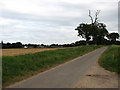
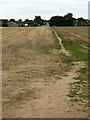
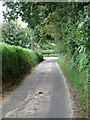
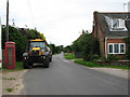
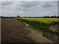
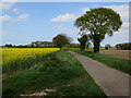
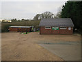
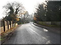
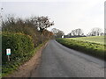
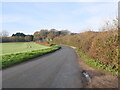
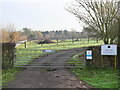
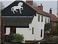
85 photos from this area
Area Information
Key information about the NR28 9HU including its size, population, and administrative classification.
- Area Type
- Postcode
- Area Size
- 2.5 hectares
- Population
- 1180
- Population Density
- 351 people/km²
House Prices in NR28 9HU
6
Properties
£200,083
Average Sold Price
£68,000
Lowest Price
£350,000
Highest Price
Showing 6 properties
| Address | Type | Beds | Baths | Last Sale Price | Last Sale Date | |
|---|---|---|---|---|---|---|
| 5 Furze Hill Drive, North Walsham, NR28 9HU | Bungalow | 3 | 1 | £350,000 | Apr 2022 | |
| 3 Furze Hill Drive, North Walsham, NR28 9HU | Bungalow | - | - | £228,000 | Oct 2015 | |
| 1 Furze Hill Drive, North Walsham, NR28 9HU | house | - | - | £227,500 | Jul 2011 | |
| 9 Furze Hill Drive, North Walsham, NR28 9HU | Detached | - | - | £245,000 | Feb 2007 | |
| 7 Furze Hill Drive, North Walsham, NR28 9HU | Detached | - | - | £82,000 | May 1997 | |
| 11 Furze Hill Drive, North Walsham, NR28 9HU | Detached | - | - | £68,000 | Dec 1996 |
Energy Efficiency in NR28 9HU
Amenities
Schools
| Rank | School | Type | Entry gender | Ages |
|---|
Explore more schools in this area
Go to Schools tabDemographics
Household Size
Two person
most common
Accommodation Type
Houses
most common
Tenure
86
majority
Ethnic Group
White
most common
Religion
N/A
most common
Household Composition
N/A
most common
Age
47
median
Elderly (65+ years)
most common
Household Deprivation
N/A
with no deprivation
NS-SEC
33
in Lower managerial occupations
Explore more demographic insights in this area
Go to Demographics tabPlanning
Planning Constraints
- Flood RiskPremium
- Ramsar Wetland SitesPremium
- Area of Outstanding Natural BeautyPremium
- Protected Nature ReservePremium
- Protected WoodlandPremium