Area Overview for NR28 0QE
Photos of NR28 0QE
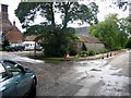
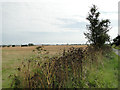
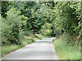
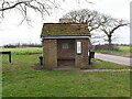

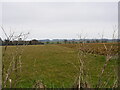
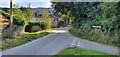
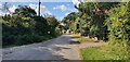
36 photos from this area
Area Information
Key information about the NR28 0QE including its size, population, and administrative classification.
- Area Type
- Postcode
- Area Size
- 62.2 hectares
- Population
- 2379
- Population Density
- 80 people/km²
House Prices in NR28 0QE
20
Properties
£166,681
Average Sold Price
£48,000
Lowest Price
£345,000
Highest Price
Showing 20 properties
| Address | Type | Beds | Baths | Last Sale Price | Last Sale Date | |
|---|---|---|---|---|---|---|
| Belmont, Knapton Road, Trunch, NR28 0QE | Bungalow | 2 | 1 | £278,500 | Nov 2019 | |
| Dolphin Lodge, 3 Knapton Road, Trunch, NR28 0QE | Bungalow | 4 | - | £345,000 | Nov 2016 | |
| Lynfield, Knapton Road, Trunch, NR28 0QE | Bungalow | 2 | - | £160,000 | May 2014 | |
| 2 Knapton Road, Trunch, NR28 0QE | Bungalow | 2 | - | £160,000 | Sep 2013 | |
| Tall Oaks, Knapton Road, Trunch, NR28 0QE | Bungalow | - | - | £155,000 | Dec 2009 | |
| Avalon, Knapton Road, Trunch, NR28 0QE | Bungalow | 2 | 1 | £138,000 | May 2006 | |
| Inyanga, Knapton Road, Trunch, NR28 0QE | Semi-detached | - | - | £48,000 | Nov 1995 | |
| 1 Knapton Road, Trunch, NR28 0QE | Bungalow | 1 | 1 | £48,950 | Aug 1995 | |
| Trunch House, Knapton Road, Trunch, NR28 0QE | Detached | 8 | 3 | - | - | |
| The Caravan, Knapton Road, Trunch, NR28 0QE | Mobile Home | - | - | - | - |
Page 1 of 2
Energy Efficiency in NR28 0QE
Amenities
Schools
| Rank | School | Type | Entry gender | Ages |
|---|
Explore more schools in this area
Go to Schools tabDemographics
Household Size
Two person
most common
Accommodation Type
Houses
most common
Tenure
75
majority
Ethnic Group
White
most common
Religion
N/A
most common
Household Composition
N/A
most common
Age
47
median
Adults (30-64 years)
most common
Household Deprivation
N/A
with no deprivation
NS-SEC
29
in Lower managerial occupations
Explore more demographic insights in this area
Go to Demographics tabPlanning
Planning Constraints
- Flood RiskPremium
- Ramsar Wetland SitesPremium
- Area of Outstanding Natural BeautyPremium
- Protected Nature ReservePremium
- Protected WoodlandPremium