Area Overview for NR28 0DX
Photos of NR28 0DX
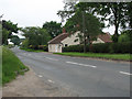
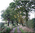
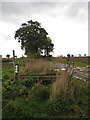
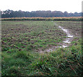
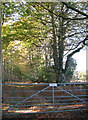
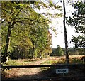
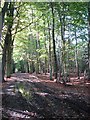
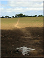
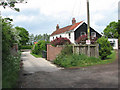
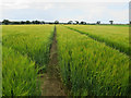
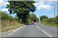
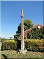
85 photos from this area
Area Information
Key information about the NR28 0DX including its size, population, and administrative classification.
- Area Type
- Postcode
- Area Size
- 27.6 hectares
- Population
- 1424
- Population Density
- 250 people/km²
House Prices in NR28 0DX
60
Properties
£241,161
Average Sold Price
£52,000
Lowest Price
£610,000
Highest Price
Showing 60 properties
| Address | Type | Beds | Baths | Last Sale Price | Last Sale Date | |
|---|---|---|---|---|---|---|
| 38 Norwich Road, North Walsham, NR28 0DX | house | 1 | 1 | £115,000 | Oct 2025 | |
| 104 Norwich Road, North Walsham, NR28 0DX | Semi-detached | 3 | 1 | £300,000 | Feb 2025 | |
| Cherry Tree House, Norwich Road, North Walsham, NR28 0DX | house | - | - | £450,000 | Sep 2024 | |
| 80 Norwich Road, North Walsham, NR28 0DX | Semi-detached | 3 | 2 | £265,000 | Feb 2024 | |
| The White House, 52 Norwich Road, North Walsham, NR28 0DX | Detached | 3 | 1 | £370,000 | Sep 2023 | |
| 96 Norwich Road, North Walsham, NR28 0DX | Semi-detached | 3 | 1 | £365,000 | Jan 2023 | |
| 132 Norwich Road, North Walsham, NR28 0DX | Detached | 5 | 3 | £610,000 | Jan 2023 | |
| 50 Norwich Road, North Walsham, NR28 0DX | house | 2 | 1 | £240,000 | Aug 2022 | |
| The Paddock, Norwich Road, North Walsham, NR28 0DX | Bungalow | 4 | 2 | £515,000 | Jul 2022 | |
| 44 Norwich Road, North Walsham, NR28 0DX | house | - | - | £200,000 | Dec 2021 |
Page 1 of 6
Energy Efficiency in NR28 0DX
Amenities
Schools
| Rank | School | Type | Entry gender | Ages |
|---|
Explore more schools in this area
Go to Schools tabDemographics
Household Size
Two person
most common
Accommodation Type
Houses
most common
Tenure
61
majority
Ethnic Group
White
most common
Religion
N/A
most common
Household Composition
N/A
most common
Age
47
median
Adults (30-64 years)
most common
Household Deprivation
N/A
with no deprivation
NS-SEC
23
in Lower managerial occupations
Explore more demographic insights in this area
Go to Demographics tabPlanning
Planning Constraints
- Flood RiskPremium
- Ramsar Wetland SitesPremium
- Area of Outstanding Natural BeautyPremium
- Protected Nature ReservePremium
- Protected WoodlandPremium