Area Overview for NR27 9AX
Photos of NR27 9AX

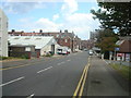
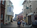
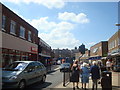
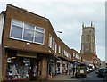
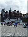
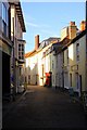
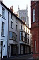
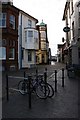
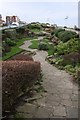
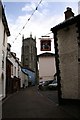
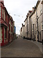
100 photos from this area
Area Information
Key information about the NR27 9AX including its size, population, and administrative classification.
- Area Type
- Postcode
- Area Size
- 8296 m²
- Population
- 1293
- Population Density
- 763 people/km²
House Prices in NR27 9AX
15
Properties
£209,208
Average Sold Price
£53,000
Lowest Price
£470,000
Highest Price
Showing 15 properties
| Address | Type | Beds | Baths | Last Sale Price | Last Sale Date | |
|---|---|---|---|---|---|---|
| 4, Shipden Court, Runton Road, Cromer, NR27 9AX | Flat | - | - | £251,500 | Jun 2024 | |
| 2, Shipden Court, Runton Road, Cromer, NR27 9AX | Flat | - | - | £245,000 | Sep 2021 | |
| 3, Shipden Court, Runton Road, Cromer, NR27 9AX | Flat | 2 | 1 | £220,000 | Jun 2021 | |
| 81 Runton Road, Cromer, NR27 9AX | house | - | - | £330,000 | Dec 2018 | |
| 77 Runton Road, Cromer, NR27 9AX | Semi-detached | 7 | - | £470,000 | Nov 2017 | |
| 83 Runton Road, Cromer, NR27 9AX | Bungalow | - | - | £205,000 | Aug 2013 | |
| 1, Shipden Court, Runton Road, Cromer, NR27 9AX | Flat | - | - | £165,000 | Oct 2010 | |
| 87 Runton Road, Cromer, NR27 9AX | Bungalow | - | - | £210,000 | Nov 2005 | |
| 85 Runton Road, Cromer, NR27 9AX | Semi-detached | - | - | £170,000 | Sep 2004 | |
| 5, Shipden Court, Runton Road, Cromer, NR27 9AX | Flat | - | - | £105,000 | Mar 2003 |
Page 1 of 2
Energy Efficiency in NR27 9AX
Amenities
Schools
| Rank | School | Type | Entry gender | Ages |
|---|
Explore more schools in this area
Go to Schools tabDemographics
Household Size
One person
most common
Accommodation Type
Houses
most common
Tenure
64
majority
Ethnic Group
White
most common
Religion
N/A
most common
Household Composition
N/A
most common
Age
47
median
Elderly (65+ years)
most common
Household Deprivation
N/A
with no deprivation
NS-SEC
26
in Lower managerial occupations
Explore more demographic insights in this area
Go to Demographics tabPlanning
Planning Constraints
- Flood RiskPremium
- Ramsar Wetland SitesPremium
- Area of Outstanding Natural BeautyPremium
- Protected Nature ReservePremium
- Protected WoodlandPremium