Area Overview for NR27 0LF
Photos of NR27 0LF
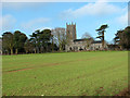
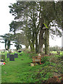
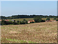
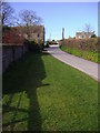
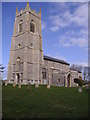
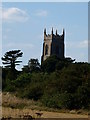
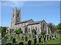
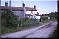
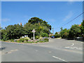
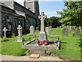
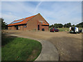
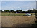
56 photos from this area
Area Information
Key information about the NR27 0LF including its size, population, and administrative classification.
- Area Type
- Postcode
- Area Size
- 5.0 hectares
- Population
- 1387
- Population Density
- 122 people/km²
House Prices in NR27 0LF
43
Properties
£301,000
Average Sold Price
£150,000
Lowest Price
£460,000
Highest Price
Showing 43 properties
| Address | Type | Beds | Baths | Last Sale Price | Last Sale Date | |
|---|---|---|---|---|---|---|
| Daisy Cottage, 2 Bulls Row, Northrepps, NR27 0LF | house | - | - | £460,000 | Apr 2021 | |
| Cherry Tree Cottage, Bulls Row, Northrepps, NR27 0LF | house | - | - | £150,000 | Jan 2020 | |
| Orchard House, Bulls Row, Northrepps, NR27 0LF | Detached | 5 | - | £450,000 | Jun 2014 | |
| Hillview, Bulls Row, Northrepps, NR27 0LF | Detached | - | - | £195,000 | Dec 2009 | |
| Woodbine Cottage, Bulls Row, Northrepps, NR27 0LF | house | - | - | £250,000 | Oct 2009 | |
| Wywurry, Bulls Row, Northrepps, NR27 0LF | Bungalow | 2 | 1 | - | - | |
| 11 Bulls Row, Northrepps, NR27 0LF | Terraced | 2 | 1 | - | - | |
| Poppy Cottage, 26 Bulls Row, Northrepps, NR27 0LF | Cottage | 2 | 1 | - | - | |
| 28 Bulls Row, Northrepps, NR27 0LF | Terraced | 2 | 1 | - | - | |
| 10, Keswick Close, Bulls Row, Northrepps, NR27 0LF | Semi-detached | 3 | 2 | - | - |
Page 1 of 5
Energy Efficiency in NR27 0LF
Amenities
Schools
| Rank | School | Type | Entry gender | Ages |
|---|
Explore more schools in this area
Go to Schools tabDemographics
Household Size
Two person
most common
Accommodation Type
Houses
most common
Tenure
74
majority
Ethnic Group
White
most common
Religion
N/A
most common
Household Composition
N/A
most common
Age
47
median
Adults (30-64 years)
most common
Household Deprivation
N/A
with no deprivation
NS-SEC
29
in Lower managerial occupations
Explore more demographic insights in this area
Go to Demographics tabPlanning
Planning Constraints
- Flood RiskPremium
- Ramsar Wetland SitesPremium
- Area of Outstanding Natural BeautyPremium
- Protected Nature ReservePremium
- Protected WoodlandPremium