Area Overview for NR26 8TB
Photos of NR26 8TB
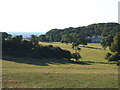
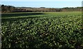
![Sheringham Park [10] in NR26 8TB](https://images.propbar.co.uk/images/geograph/51/79/5179299_120.jpg)
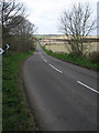
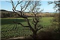
![Sheringham Park [11] in NR26 8TB](https://images.propbar.co.uk/images/geograph/51/80/5180014_120.jpg)
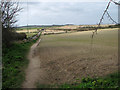
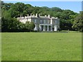
![Sheringham Park [12] in NR26 8TB](https://images.propbar.co.uk/images/geograph/51/80/5180017_120.jpg)
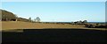
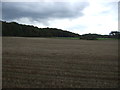
![Sheringham Park [14] in NR26 8TB](https://images.propbar.co.uk/images/geograph/51/80/5180019_120.jpg)
65 photos from this area
Area Information
Key information about the NR26 8TB including its size, population, and administrative classification.
- Area Type
- Postcode
- Area Size
- 1.8 km²
- Population
- 2257
- Population Density
- 63 people/km²
House Prices in NR26 8TB
8
Properties
-
Average Sold Price
-
Lowest Price
-
Highest Price
Showing 8 properties
| Address | Type | Beds | Baths | Last Sale Price | Last Sale Date | |
|---|---|---|---|---|---|---|
| Sheringham Hall, Sheringham Park, Upper Sheringham, NR26 8TB | Retail | 2 | 1 | - | - | |
| 1, Hall Farm, Sheringham Park, Upper Sheringham, NR26 8TB | house | - | - | - | - | |
| West Lodge, Sheringham Park, Upper Sheringham, NR26 8TB | Detached | - | - | - | - | |
| Park Lodge, Sheringham Park, Upper Sheringham, NR26 8TB | Detached | - | - | - | - | |
| 2, Hall Farm, Sheringham Park, Upper Sheringham, NR26 8TB | house | - | - | - | - | |
| Gardeners Cottage, Sheringham Park, Upper Sheringham, NR26 8TB | house | - | - | - | - | |
| Sheringham Hall Coach House, Sheringham Park, Upper Sheringham, NR26 8TB | Bungalow | - | - | - | - | |
| Annexe At, Sheringham Hall, Sheringham Park, Upper Sheringham, NR26 8TB | Detached | - | - | - | - |
Energy Efficiency in NR26 8TB
Amenities
Schools
| Rank | School | Type | Entry gender | Ages |
|---|
Explore more schools in this area
Go to Schools tabDemographics
Household Size
Two person
most common
Accommodation Type
Houses
most common
Tenure
73
majority
Ethnic Group
White
most common
Religion
N/A
most common
Household Composition
N/A
most common
Age
47
median
Adults (30-64 years)
most common
Household Deprivation
N/A
with no deprivation
NS-SEC
33
in Lower managerial occupations
Explore more demographic insights in this area
Go to Demographics tabPlanning
Planning Constraints
- Flood RiskPremium
- Ramsar Wetland SitesPremium
- Area of Outstanding Natural BeautyPremium
- Protected Nature ReservePremium
- Protected WoodlandPremium