Area Overview for NR26 8DG
Photos of NR26 8DG
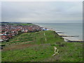
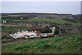
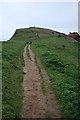
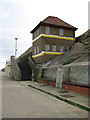
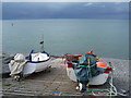
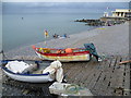
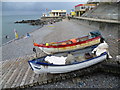
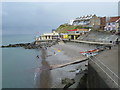
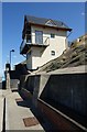
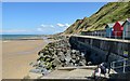
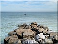
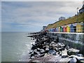
100 photos from this area
Area Information
Key information about the NR26 8DG including its size, population, and administrative classification.
- Area Type
- Postcode
- Area Size
- 9379 m²
- Population
- Not available
- Population Density
- Not available
House Prices in NR26 8DG
31
Properties
£194,119
Average Sold Price
£24,000
Lowest Price
£415,000
Highest Price
Showing 31 properties
| Address | Type | Beds | Baths | Last Sale Price | Last Sale Date | |
|---|---|---|---|---|---|---|
| 24 The Avenue, Sheringham, NR26 8DG | house | - | - | £415,000 | Sep 2021 | |
| 10 The Avenue, Sheringham, NR26 8DG | house | - | - | £197,000 | Jan 2021 | |
| 29 The Avenue, Sheringham, NR26 8DG | Detached | 4 | 2 | £390,000 | Jun 2019 | |
| 36 The Avenue, Sheringham, NR26 8DG | Semi-detached | 4 | - | £375,000 | Jun 2019 | |
| 18 The Avenue, Sheringham, NR26 8DG | house | - | - | £275,000 | Oct 2016 | |
| 14 The Avenue, Sheringham, NR26 8DG | house | - | - | £275,000 | Jul 2016 | |
| 25 The Avenue, Sheringham, NR26 8DG | house | - | - | £230,000 | Feb 2016 | |
| 8 The Avenue, Sheringham, NR26 8DG | Terraced | 2 | 1 | £227,500 | Oct 2014 | |
| 13 The Avenue, Sheringham, NR26 8DG | house | - | - | £207,500 | Oct 2013 | |
| 23 The Avenue, Sheringham, NR26 8DG | house | - | - | £220,000 | Aug 2013 |
Page 1 of 4
Energy Efficiency in NR26 8DG
Amenities
Schools
| Rank | School | Type | Entry gender | Ages |
|---|
Explore more schools in this area
Go to Schools tabDemographics
Household Size
Two person
most common
Accommodation Type
Houses
most common
Tenure
70
majority
Ethnic Group
White
most common
Religion
N/A
most common
Household Composition
N/A
most common
Age
47
median
Adults (30-64 years)
most common
Household Deprivation
N/A
with no deprivation
NS-SEC
32
in Lower managerial occupations
Explore more demographic insights in this area
Go to Demographics tabPlanning
Planning Constraints
- Flood RiskPremium
- Ramsar Wetland SitesPremium
- Area of Outstanding Natural BeautyPremium
- Protected Nature ReservePremium
- Protected WoodlandPremium