Area Overview for NR25 7TT
Photos of NR25 7TT
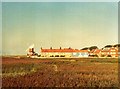
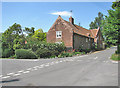
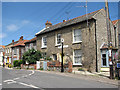
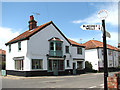
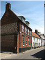
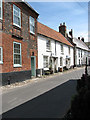
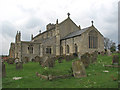
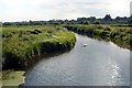
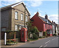
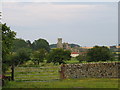
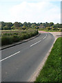
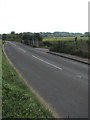
100 photos from this area
Area Information
Key information about the NR25 7TT including its size, population, and administrative classification.
- Area Type
- Postcode
- Area Size
- 1.8 hectares
- Population
- 1736
- Population Density
- 57 people/km²
House Prices in NR25 7TT
5
Properties
£411,333
Average Sold Price
£335,000
Lowest Price
£540,000
Highest Price
Showing 5 properties
| Address | Type | Beds | Baths | Last Sale Price | Last Sale Date | |
|---|---|---|---|---|---|---|
| Dawn Cottage, Newgate Green, Cley Next The Sea, NR25 7TT | Cottage | 4 | 2 | £540,000 | Jul 2018 | |
| Swallow Cottage, Newgate Green, Cley Next The Sea, NR25 7TT | Semi-detached | 2 | 1 | £359,000 | Nov 2017 | |
| Glaven House, Newgate Green, Cley Next The Sea, NR25 7TT | Detached | - | - | £335,000 | May 2000 | |
| Newgate Cottage, Newgate Green, Cley Next The Sea, NR25 7TT | Detached | - | - | - | - | |
| Marsh Cottage, Newgate Green, Cley Next The Sea, NR25 7TT | house | - | - | - | - |
Energy Efficiency in NR25 7TT
Amenities
Schools
| Rank | School | Type | Entry gender | Ages |
|---|
Explore more schools in this area
Go to Schools tabDemographics
Household Size
Two person
most common
Accommodation Type
Houses
most common
Tenure
76
majority
Ethnic Group
White
most common
Religion
N/A
most common
Household Composition
N/A
most common
Age
47
median
Elderly (65+ years)
most common
Household Deprivation
N/A
with no deprivation
NS-SEC
37
in Lower managerial occupations
Explore more demographic insights in this area
Go to Demographics tabPlanning
Planning Constraints
- Flood RiskPremium
- Ramsar Wetland SitesPremium
- Area of Outstanding Natural BeautyPremium
- Protected Nature ReservePremium
- Protected WoodlandPremium