Area Overview for NR20 5HU
Photos of NR20 5HU
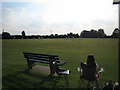
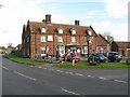
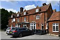
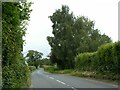
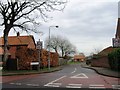
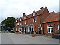
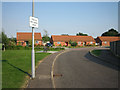
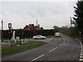
10 photos from this area
Area Information
Key information about the NR20 5HU including its size, population, and administrative classification.
- Area Type
- Postcode
- Area Size
- 54.2 hectares
- Population
- 2291
- Population Density
- 85 people/km²
House Prices in NR20 5HU
7
Properties
£239,413
Average Sold Price
£147,650
Lowest Price
£325,000
Highest Price
Showing 7 properties
| Address | Type | Beds | Baths | Last Sale Price | Last Sale Date | |
|---|---|---|---|---|---|---|
| Lea Cottage, Back Lane, North Elmham, NR20 5HU | Detached | 2 | 1 | £265,000 | Dec 2021 | |
| Mardle Barn, Back Lane, North Elmham, NR20 5HU | Semi-detached | 4 | 3 | £147,650 | Jul 2020 | |
| The Old Police House, Back Lane, North Elmham, NR20 5HU | Detached | 3 | 1 | £325,000 | Nov 2018 | |
| Long Barn, Back Lane, North Elmham, NR20 5HU | Semi-detached | 3 | - | £220,000 | Jul 2014 | |
| Kings Head Farmhouse, Back Lane, North Elmham, NR20 5HU | house | - | - | - | - | |
| Highfield Barn, Back Lane, North Elmham, NR20 5HU | house | 4 | 2 | - | - | |
| Eastgate Barns, Back Lane, North Elmham, NR20 5HU | Semi-detached | - | - | - | - |
Energy Efficiency in NR20 5HU
Amenities
Schools
| Rank | School | Type | Entry gender | Ages |
|---|
Explore more schools in this area
Go to Schools tabDemographics
Household Size
Two person
most common
Accommodation Type
Houses
most common
Tenure
69
majority
Ethnic Group
White
most common
Religion
N/A
most common
Household Composition
N/A
most common
Age
47
median
Adults (30-64 years)
most common
Household Deprivation
N/A
with no deprivation
NS-SEC
35
in Lower managerial occupations
Explore more demographic insights in this area
Go to Demographics tabPlanning
Planning Constraints
- Flood RiskPremium
- Ramsar Wetland SitesPremium
- Area of Outstanding Natural BeautyPremium
- Protected Nature ReservePremium
- Protected WoodlandPremium