Area Overview for NR20 5DD
Photos of NR20 5DD
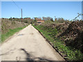
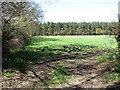
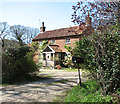
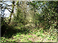
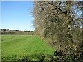
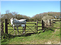
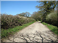
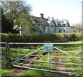
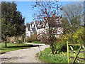
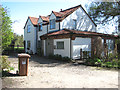
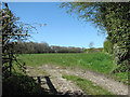
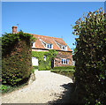
45 photos from this area
Area Information
Key information about the NR20 5DD including its size, population, and administrative classification.
- Area Type
- Postcode
- Area Size
- 12.7 hectares
- Population
- 2192
- Population Density
- 39 people/km²
House Prices in NR20 5DD
30
Properties
£383,533
Average Sold Price
£30,000
Lowest Price
£2,300,000
Highest Price
Showing 30 properties
| Address | Type | Beds | Baths | Last Sale Price | Last Sale Date | |
|---|---|---|---|---|---|---|
| 93 The Street, Hindolveston, NR20 5DD | Cottage | 3 | 2 | £345,000 | Nov 2023 | |
| Hindol House, 95A The Street, Hindolveston, NR20 5DD | Detached | 4 | 2 | £450,000 | Aug 2023 | |
| 107 The Street, Hindolveston, NR20 5DD | Retail | 3 | 1 | £112,500 | Sep 2022 | |
| 105 The Street, Hindolveston, NR20 5DD | Detached | 3 | 1 | £200,000 | Dec 2021 | |
| Beck Farmhouse, 123 The Street, Hindolveston, NR20 5DD | Detached | - | - | £2,300,000 | Jul 2021 | |
| Foxboro House, 85 The Street, Hindolveston, NR20 5DD | house | - | - | £995,000 | Jun 2021 | |
| Oak House, 67D The Street, Hindolveston, NR20 5DD | Semi-detached | 3 | 1 | £250,000 | Jul 2019 | |
| The Old Chequers, 95 The Street, Hindolveston, NR20 5DD | Detached | 6 | 2 | £283,000 | Apr 2015 | |
| 83 The Street, Hindolveston, NR20 5DD | Terraced | 2 | 1 | £120,000 | Apr 2012 | |
| Sunnyside Cottage, 69 The Street, Hindolveston, NR20 5DD | house | - | - | £275,000 | Jan 2012 |
Page 1 of 3
Energy Efficiency in NR20 5DD
Amenities
Schools
| Rank | School | Type | Entry gender | Ages |
|---|
Explore more schools in this area
Go to Schools tabDemographics
Household Size
Two person
most common
Accommodation Type
Houses
most common
Tenure
73
majority
Ethnic Group
White
most common
Religion
N/A
most common
Household Composition
N/A
most common
Age
47
median
Adults (30-64 years)
most common
Household Deprivation
N/A
with no deprivation
NS-SEC
34
in Lower managerial occupations
Explore more demographic insights in this area
Go to Demographics tabPlanning
Planning Constraints
- Flood RiskPremium
- Ramsar Wetland SitesPremium
- Area of Outstanding Natural BeautyPremium
- Protected Nature ReservePremium
- Protected WoodlandPremium