Area Overview for NR20 3AD
Photos of NR20 3AD
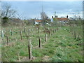
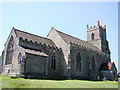
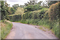
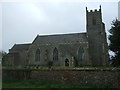
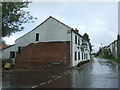
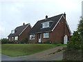
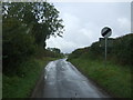
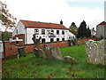
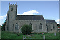
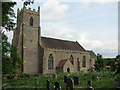
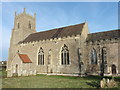
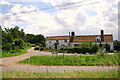
36 photos from this area
Area Information
Key information about the NR20 3AD including its size, population, and administrative classification.
- Area Type
- Postcode
- Area Size
- 9.1 hectares
- Population
- 1608
- Population Density
- 103 people/km²
House Prices in NR20 3AD
17
Properties
£179,325
Average Sold Price
£32,000
Lowest Price
£560,000
Highest Price
Showing 17 properties
| Address | Type | Beds | Baths | Last Sale Price | Last Sale Date | |
|---|---|---|---|---|---|---|
| The Pightle, Church Road, Elsing, NR20 3AD | Bungalow | 3 | 2 | £560,000 | May 2024 | |
| 20 Church Road, Elsing, NR20 3AD | house | 3 | - | £160,000 | Mar 2011 | |
| 19 Church Road, Elsing, NR20 3AD | Semi-detached | - | - | £66,000 | Nov 2003 | |
| Woodleigh House, Church Road, Elsing, NR20 3AD | Detached | - | - | £137,950 | Mar 2002 | |
| Appletree Cottage, Church Road, Elsing, NR20 3AD | Semi-detached | - | - | £120,000 | Oct 1997 | |
| 15 Church Road, Elsing, NR20 3AD | Semi-detached | - | - | £32,000 | Jul 1996 | |
| Development Plot Caravan, Church Road, Elsing, NR20 3AD | Mobile Home | - | - | - | - | |
| Oak Tree House, Church Road, Elsing, NR20 3AD | Detached | - | - | - | - | |
| Rosemary Cottage, Church Road, Elsing, NR20 3AD | house | - | - | - | - | |
| 24 Church Road, Elsing, NR20 3AD | Detached | - | - | - | - |
Page 1 of 2
Energy Efficiency in NR20 3AD
Amenities
Schools
| Rank | School | Type | Entry gender | Ages |
|---|
Explore more schools in this area
Go to Schools tabDemographics
Household Size
Two person
most common
Accommodation Type
Houses
most common
Tenure
82
majority
Ethnic Group
White
most common
Religion
N/A
most common
Household Composition
N/A
most common
Age
47
median
Adults (30-64 years)
most common
Household Deprivation
N/A
with no deprivation
NS-SEC
33
in Lower managerial occupations
Explore more demographic insights in this area
Go to Demographics tabPlanning
Planning Constraints
- Flood RiskPremium
- Ramsar Wetland SitesPremium
- Area of Outstanding Natural BeautyPremium
- Protected Nature ReservePremium
- Protected WoodlandPremium