Area Overview for NR2 2AT
Photos of NR2 2AT

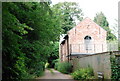
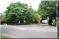
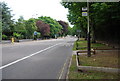
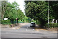
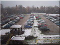
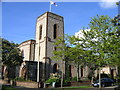
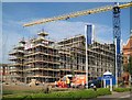
100 photos from this area
Area Information
Key information about the NR2 2AT including its size, population, and administrative classification.
- Area Type
- Postcode
- Area Size
- 3073 m²
- Population
- 1781
- Population Density
- 11366 people/km²
House Prices in NR2 2AT
19
Properties
£146,156
Average Sold Price
£42,000
Lowest Price
£265,000
Highest Price
Showing 19 properties
| Address | Type | Beds | Baths | Last Sale Price | Last Sale Date | |
|---|---|---|---|---|---|---|
| 84 Rupert Street, Norwich, NR2 2AT | Terraced | 3 | 1 | £223,000 | Sep 2024 | |
| 94 Rupert Street, Norwich, NR2 2AT | Terraced | 3 | 1 | £250,000 | Feb 2023 | |
| 101 Rupert Street, Norwich, NR2 2AT | Terraced | 3 | - | £265,000 | Aug 2020 | |
| 86 Rupert Street, Norwich, NR2 2AT | Terraced | 2 | 1 | £190,000 | Apr 2019 | |
| 95 Rupert Street, Norwich, NR2 2AT | Terraced | 2 | 1 | £239,000 | Oct 2017 | |
| 93 Rupert Street, Norwich, NR2 2AT | house | - | - | £150,000 | May 2009 | |
| 78 Rupert Street, Norwich, NR2 2AT | Terraced | - | - | £150,000 | Nov 2006 | |
| 98 Rupert Street, Norwich, NR2 2AT | house | - | - | £149,000 | Jul 2004 | |
| 97 Rupert Street, Norwich, NR2 2AT | Terraced | - | - | £122,500 | Sep 2003 | |
| 99 Rupert Street, Norwich, NR2 2AT | Terraced | - | - | £115,000 | Sep 2002 |
Page 1 of 2
Energy Efficiency in NR2 2AT
Amenities
Schools
| Rank | School | Type | Entry gender | Ages |
|---|
Explore more schools in this area
Go to Schools tabDemographics
Household Size
One person
most common
Accommodation Type
Houses
most common
Tenure
46
majority
Ethnic Group
White
most common
Religion
N/A
most common
Household Composition
N/A
most common
Age
47
median
Adults (30-64 years)
most common
Household Deprivation
N/A
with no deprivation
NS-SEC
40
in Lower managerial occupations
Explore more demographic insights in this area
Go to Demographics tabPlanning
Planning Constraints
- Flood RiskPremium
- Ramsar Wetland SitesPremium
- Area of Outstanding Natural BeautyPremium
- Protected Nature ReservePremium
- Protected WoodlandPremium