Area Overview for NR19 2XB
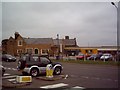
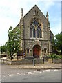
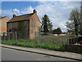
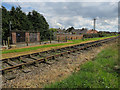
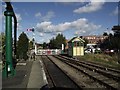
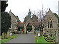
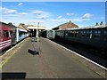
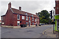
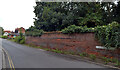
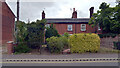
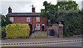
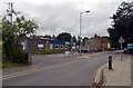
Photos of NR19 2XB
Area Information
There are 2320 people living in this specific postcode area. It covers a small residential cluster of 6474 square metres. This results in a high population density of 2139 people per square kilometre. Living in NR19 2XB means you are in a compact space with many neighbours nearby. The area is defined by its size and the concentration of households. You will experience a close-knit environment where community interaction is frequent. Nearby Dereham metro station provides a transport link. Digital infrastructure supports modern life with excellent broadband speeds. However, the area presents a mix of strong connectivity and significant safety concerns. Crime risk is a defining feature that must be weighed against the convenience. Homes in NR19 2XB are situated within this dense configuration. The specific postcode boundary contains this distinct social fabric. You should evaluate how the density impacts your daily routine.
- Area Type
- Postcode
- Area Size
- 6474 m²
- Population
- 2320
- Population Density
- 2139 people/km²
The property market in NR19 2XB is defined by a specific mix of ownership and accommodation. The accommodation type is primarily Houses. This excludes high-rise or flat-style living. Forty-three per cent of residents own their homes. Consequently, nearly sixty per cent of the market relies on rental income. This indicates a robust demand for long-term tenancy. The total area size is small at 6474 square metres. This constraint limits the variety of property types available within the postcode. Buyers looking at homes in NR19 2XB face a concentrated market. The high density of 2139 people per square kilometre ensures consistent demand. You will likely encounter a mix of long-term residents and investors. Homes in NR19 2XB cater to the needs of the local adult demographic. Supply is limited by the small physical footprint. The market is driven by the necessity of housing in a small area.
House Prices in NR19 2XB
Showing 22 properties
| Address | Type | Beds | Baths | Last Sale Price | Last Sale Date | |
|---|---|---|---|---|---|---|
| 5 John Bates Close, Dereham, NR19 2XB | house | - | - | - | - | |
| 2 John Bates Close, Dereham, NR19 2XB | house | - | - | - | - | |
| 14 John Bates Close, Dereham, NR19 2XB | Detached | - | - | - | - | |
| 13 John Bates Close, Dereham, NR19 2XB | Detached | - | - | - | - | |
| 1 John Bates Close, Dereham, NR19 2XB | house | - | - | - | - | |
| 6 John Bates Close, Dereham, NR19 2XB | Detached | - | - | - | - | |
| 12 John Bates Close, Dereham, NR19 2XB | Detached | - | - | - | - | |
| 7 John Bates Close, Dereham, NR19 2XB | Detached | - | - | - | - | |
| 22 John Bates Close, Dereham, NR19 2XB | house | - | - | - | - | |
| 19 John Bates Close, Dereham, NR19 2XB | house | - | - | - | - |
Energy Efficiency in NR19 2XB
Amenities
Schools
| Rank | School | Type | Entry gender | Ages |
|---|
Explore more schools in this area
Go to Schools tabDemographics
The community in NR19 2XB is dominated by a stable, working-age population. The median age is 47 years old. The most common age range is adults between 30 and 64 years. This indicates a mature neighbourhood of established residents. Forty-three per cent of occupants are homeowners. This means the majority live in rented accommodation or shared ownership. The predominant ethnic group is White, reflecting the local profile. The housing stock consists primarily of houses rather than flats. This demographic mix suggests a need for family-sized accommodation. Living in NR19 2XB involves being part of a mature community. The high density of 2139 people per square kilometre reinforces this intensity. You are joining an area where the population is relatively static. Over half the residents do not own their homes. This influences the social hierarchy and neighbourhood turnover rates.
Household Size
Accommodation Type
Tenure
Ethnic Group
Religion
Household Composition
Age
Household Deprivation
NS-SEC
Explore more demographic insights in this area
Go to Demographics tabPlanning
Planning Constraints
- Flood RiskPremium
- Ramsar Wetland SitesPremium
- Area of Outstanding Natural BeautyPremium
- Protected Nature ReservePremium
- Protected WoodlandPremium