Area Overview for NR19 2RD
Photos of NR19 2RD
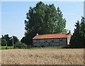
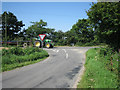

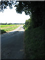
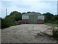
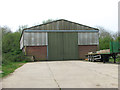
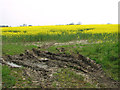

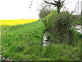

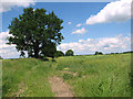
20 photos from this area
Area Information
Key information about the NR19 2RD including its size, population, and administrative classification.
- Area Type
- Postcode
- Area Size
- 30.5 hectares
- Population
- 1552
- Population Density
- 44 people/km²
House Prices in NR19 2RD
20
Properties
£293,577
Average Sold Price
£50,000
Lowest Price
£675,000
Highest Price
Showing 20 properties
| Address | Type | Beds | Baths | Last Sale Price | Last Sale Date | |
|---|---|---|---|---|---|---|
| The Inches, Wendling Road, Longham, NR19 2RD | Bungalow | 3 | 1 | £330,000 | Jul 2025 | |
| Kathbert Lodge, 4 Wendling Road, Longham, NR19 2RD | Bungalow | - | - | £340,000 | Dec 2024 | |
| The Gables, 11 Wendling Road, Longham, NR19 2RD | Detached | 4 | 2 | £675,000 | Dec 2022 | |
| Manor Cottage, Wendling Road, Longham, NR19 2RD | house | - | - | £400,000 | Mar 2021 | |
| Meadow Lodge, Wendling Road, Longham, NR19 2RD | Bungalow | - | - | £345,000 | Feb 2021 | |
| The Jays, Wendling Road, Longham, NR19 2RD | Detached | 4 | 2 | £475,000 | Sep 2018 | |
| Dorick, Wendling Road, Longham, NR19 2RD | Bungalow | 2 | 1 | £173,000 | Aug 2013 | |
| Homelands, Wendling Road, Longham, NR19 2RD | Bungalow | - | - | £191,500 | Oct 2011 | |
| Ivanhoe, Wendling Road, Longham, NR19 2RD | Bungalow | 3 | - | £205,000 | Oct 2010 | |
| Manor Bungalow, Wendling Road, Longham, NR19 2RD | Bungalow | - | - | £275,000 | May 2010 |
Page 1 of 2
Energy Efficiency in NR19 2RD
Amenities
Schools
| Rank | School | Type | Entry gender | Ages |
|---|
Explore more schools in this area
Go to Schools tabDemographics
Household Size
Two person
most common
Accommodation Type
Houses
most common
Tenure
71
majority
Ethnic Group
White
most common
Religion
N/A
most common
Household Composition
N/A
most common
Age
47
median
Adults (30-64 years)
most common
Household Deprivation
N/A
with no deprivation
NS-SEC
30
in Lower managerial occupations
Explore more demographic insights in this area
Go to Demographics tabPlanning
Planning Constraints
- Flood RiskPremium
- Ramsar Wetland SitesPremium
- Area of Outstanding Natural BeautyPremium
- Protected Nature ReservePremium
- Protected WoodlandPremium