Area Overview for NR19 2HT
Photos of NR19 2HT
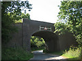
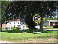
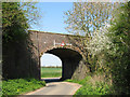
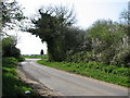
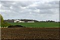
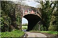
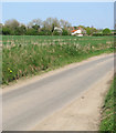
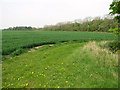
26 photos from this area
Area Information
Key information about the NR19 2HT including its size, population, and administrative classification.
- Area Type
- Postcode
- Area Size
- 1.2 km²
- Population
- 1552
- Population Density
- 44 people/km²
House Prices in NR19 2HT
11
Properties
£169,800
Average Sold Price
£36,000
Lowest Price
£305,000
Highest Price
Showing 11 properties
| Address | Type | Beds | Baths | Last Sale Price | Last Sale Date | |
|---|---|---|---|---|---|---|
| Chequers Cottage, Beeston Road, Great Fransham, Fransham, NR19 2HT | house | - | - | £290,000 | Dec 2021 | |
| Kenley, Beeston Road, Great Fransham, Fransham, NR19 2HT | Detached | 3 | 2 | £305,000 | Aug 2015 | |
| Arjees, Beeston Road, Great Fransham, Fransham, NR19 2HT | Semi-detached | 3 | - | £151,000 | Nov 2013 | |
| Greenacres, Beeston Road, Great Fransham, Fransham, NR19 2HT | Bungalow | - | - | £67,000 | Mar 1997 | |
| Oldfield, Beeston Road, Great Fransham, Fransham, NR19 2HT | Detached | - | - | £36,000 | Dec 1995 | |
| Jemaks, Beeston Road, Great Fransham, Fransham, NR19 2HT | Semi-detached | 4 | 2 | - | - | |
| Liberator Barn, Beeston Road, Great Fransham, Fransham, NR19 2HT | Detached | - | - | - | - | |
| Home Farm North, Beeston Road, Great Fransham, Fransham, NR19 2HT | Detached | - | - | - | - | |
| White House, Beeston Road, Great Fransham, Fransham, NR19 2HT | house | - | - | - | - | |
| Old Chequers, Beeston Road, Great Fransham, Fransham, NR19 2HT | storage_distribution | - | - | - | - |
Page 1 of 2
Energy Efficiency in NR19 2HT
Amenities
Schools
| Rank | School | Type | Entry gender | Ages |
|---|
Explore more schools in this area
Go to Schools tabDemographics
Household Size
Two person
most common
Accommodation Type
Houses
most common
Tenure
71
majority
Ethnic Group
White
most common
Religion
N/A
most common
Household Composition
N/A
most common
Age
47
median
Adults (30-64 years)
most common
Household Deprivation
N/A
with no deprivation
NS-SEC
30
in Lower managerial occupations
Explore more demographic insights in this area
Go to Demographics tabPlanning
Planning Constraints
- Flood RiskPremium
- Ramsar Wetland SitesPremium
- Area of Outstanding Natural BeautyPremium
- Protected Nature ReservePremium
- Protected WoodlandPremium