Area Overview for NR19 1JL
Photos of NR19 1JL

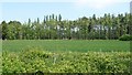
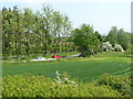
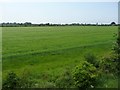
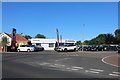
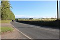
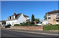
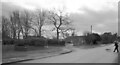
28 photos from this area
Area Information
Key information about the NR19 1JL including its size, population, and administrative classification.
- Area Type
- Postcode
- Area Size
- 2.3 hectares
- Population
- 1448
- Population Density
- 3010 people/km²
House Prices in NR19 1JL
35
Properties
£138,387
Average Sold Price
£32,000
Lowest Price
£325,000
Highest Price
Showing 35 properties
| Address | Type | Beds | Baths | Last Sale Price | Last Sale Date | |
|---|---|---|---|---|---|---|
| 4, St Francis Court, Shipdham Road, Dereham, NR19 1JL | Flat | - | - | £117,500 | Apr 2024 | |
| 45 Shipdham Road, Dereham, NR19 1JL | Semi-detached | 4 | 1 | £257,000 | Feb 2023 | |
| 35 Shipdham Road, Dereham, NR19 1JL | house | - | - | £325,000 | Sep 2021 | |
| 2, St Francis Court, Shipdham Road, Dereham, NR19 1JL | Bungalow | 2 | - | £165,000 | Sep 2021 | |
| Orchard House, 48 Shipdham Road, Dereham, NR19 1JL | Semi-detached | 4 | 2 | £317,500 | Apr 2021 | |
| 44 Shipdham Road, Dereham, NR19 1JL | house | - | - | £194,000 | Oct 2020 | |
| 29 Shipdham Road, Dereham, NR19 1JL | Terraced | 3 | 1 | £135,000 | Feb 2019 | |
| Cuckmere, 53 Shipdham Road, Dereham, NR19 1JL | Detached | - | - | £138,500 | Jul 2017 | |
| 46 Shipdham Road, Dereham, NR19 1JL | Semi-detached | 3 | 1 | £165,000 | Nov 2016 | |
| 32 Shipdham Road, Dereham, NR19 1JL | Semi-detached | 2 | 1 | £163,000 | Oct 2016 |
Page 1 of 4
Energy Efficiency in NR19 1JL
Amenities
Schools
| Rank | School | Type | Entry gender | Ages |
|---|
Explore more schools in this area
Go to Schools tabDemographics
Household Size
Two person
most common
Accommodation Type
Houses
most common
Tenure
87
majority
Ethnic Group
White
most common
Religion
N/A
most common
Household Composition
N/A
most common
Age
47
median
Adults (30-64 years)
most common
Household Deprivation
N/A
with no deprivation
NS-SEC
26
in Lower managerial occupations
Explore more demographic insights in this area
Go to Demographics tabPlanning
Planning Constraints
- Flood RiskPremium
- Ramsar Wetland SitesPremium
- Area of Outstanding Natural BeautyPremium
- Protected Nature ReservePremium
- Protected WoodlandPremium