Area Overview for NR18 9DR
Photos of NR18 9DR
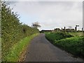
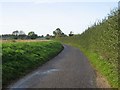
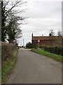

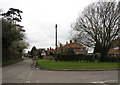
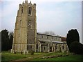
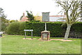
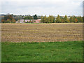
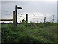
26 photos from this area
Area Information
Key information about the NR18 9DR including its size, population, and administrative classification.
- Area Type
- Postcode
- Area Size
- 23.2 hectares
- Population
- 1619
- Population Density
- 69 people/km²
House Prices in NR18 9DR
24
Properties
£279,636
Average Sold Price
£47,000
Lowest Price
£735,000
Highest Price
Showing 24 properties
| Address | Type | Beds | Baths | Last Sale Price | Last Sale Date | |
|---|---|---|---|---|---|---|
| Church View, Vicarage Road, Deopham, NR18 9DR | Bungalow | 3 | 2 | £430,000 | Sep 2021 | |
| 3, Coldham Green, Vicarage Road, Deopham, NR18 9DR | Semi-detached | 3 | 1 | £210,000 | May 2020 | |
| 13, Coldham Green, Vicarage Road, Deopham, NR18 9DR | house | - | - | £212,000 | Nov 2019 | |
| 16, Coldham Green, Vicarage Road, Deopham, NR18 9DR | Semi-detached | 3 | 1 | £205,000 | Feb 2018 | |
| Deopham House, Vicarage Road, Deopham, NR18 9DR | Detached | 6 | 3 | £530,000 | Oct 2016 | |
| 7, Coldham Green, Vicarage Road, Deopham, NR18 9DR | Semi-detached | 3 | 1 | £215,000 | Mar 2016 | |
| 1, Coldham Green, Vicarage Road, Deopham, NR18 9DR | Semi-detached | 3 | 2 | £205,000 | Nov 2012 | |
| 17, Coldham Green, Vicarage Road, Deopham, NR18 9DR | Semi-detached | - | - | £186,000 | Feb 2011 | |
| The Grange, Vicarage Road, Deopham, NR18 9DR | Detached | - | - | £735,000 | Aug 2009 | |
| 4, Coldham Green, Vicarage Road, Deopham, NR18 9DR | Semi-detached | 3 | 2 | £101,000 | Sep 2006 |
Page 1 of 3
Energy Efficiency in NR18 9DR
Amenities
Schools
| Rank | School | Type | Entry gender | Ages |
|---|
Explore more schools in this area
Go to Schools tabDemographics
Household Size
Two person
most common
Accommodation Type
Houses
most common
Tenure
86
majority
Ethnic Group
White
most common
Religion
N/A
most common
Household Composition
N/A
most common
Age
47
median
Adults (30-64 years)
most common
Household Deprivation
N/A
with no deprivation
NS-SEC
40
in Lower managerial occupations
Explore more demographic insights in this area
Go to Demographics tabPlanning
Planning Constraints
- Flood RiskPremium
- Ramsar Wetland SitesPremium
- Area of Outstanding Natural BeautyPremium
- Protected Nature ReservePremium
- Protected WoodlandPremium