Area Overview for NR18 0SJ
Photos of NR18 0SJ
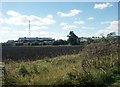
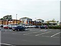
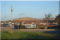

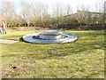

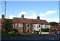
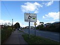
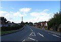
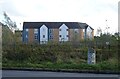
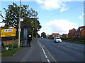
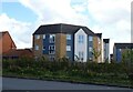
30 photos from this area
Area Information
Key information about the NR18 0SJ including its size, population, and administrative classification.
- Area Type
- Postcode
- Area Size
- 6.1 hectares
- Population
- 1458
- Population Density
- 3477 people/km²
House Prices in NR18 0SJ
58
Properties
£294,432
Average Sold Price
£27,500
Lowest Price
£650,000
Highest Price
Showing 58 properties
| Address | Type | Beds | Baths | Last Sale Price | Last Sale Date | |
|---|---|---|---|---|---|---|
| 179 Norwich Road, Wymondham, NR18 0SJ | Bungalow | 3 | 2 | £480,000 | Jan 2024 | |
| 153 Norwich Road, Wymondham, NR18 0SJ | Bungalow | 3 | 2 | £440,000 | Nov 2023 | |
| 95A Norwich Road, Wymondham, NR18 0SJ | house | - | - | £423,000 | Mar 2022 | |
| 163 Norwich Road, Wymondham, NR18 0SJ | Detached | 4 | 1 | £455,000 | Oct 2021 | |
| 129 Norwich Road, Wymondham, NR18 0SJ | house | - | - | £240,000 | Jun 2021 | |
| 111 Norwich Road, Wymondham, NR18 0SJ | house | 3 | - | £275,000 | Feb 2021 | |
| 167 Norwich Road, Wymondham, NR18 0SJ | Detached | 3 | 1 | £440,000 | Jan 2021 | |
| 121 Norwich Road, Wymondham, NR18 0SJ | Terraced | 4 | 1 | £350,000 | Dec 2020 | |
| 115 Norwich Road, Wymondham, NR18 0SJ | Terraced | 3 | 2 | £310,000 | Jul 2020 | |
| 95 Norwich Road, Wymondham, NR18 0SJ | Detached | 4 | 1 | £575,000 | Aug 2018 |
Page 1 of 6
Energy Efficiency in NR18 0SJ
Amenities
Schools
| Rank | School | Type | Entry gender | Ages |
|---|
Explore more schools in this area
Go to Schools tabDemographics
Household Size
Family (3-5 people)
most common
Accommodation Type
Houses
most common
Tenure
77
majority
Ethnic Group
White
most common
Religion
N/A
most common
Household Composition
N/A
most common
Age
47
median
Adults (30-64 years)
most common
Household Deprivation
N/A
with no deprivation
NS-SEC
42
in Lower managerial occupations
Explore more demographic insights in this area
Go to Demographics tabPlanning
Planning Constraints
- Flood RiskPremium
- Ramsar Wetland SitesPremium
- Area of Outstanding Natural BeautyPremium
- Protected Nature ReservePremium
- Protected WoodlandPremium