Area Overview for NR17 1LN
Photos of NR17 1LN
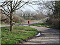
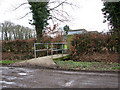
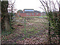
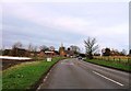
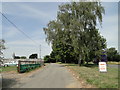
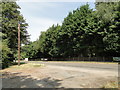
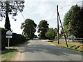
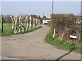
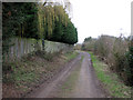
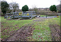
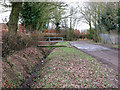
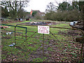
15 photos from this area
Area Information
Key information about the NR17 1LN including its size, population, and administrative classification.
- Area Type
- Postcode
- Area Size
- 50.9 hectares
- Population
- 1267
- Population Density
- 114 people/km²
House Prices in NR17 1LN
86
Properties
£367,695
Average Sold Price
£68,000
Lowest Price
£780,000
Highest Price
Showing 86 properties
| Address | Type | Beds | Baths | Last Sale Price | Last Sale Date | |
|---|---|---|---|---|---|---|
| 28 Long Street, Great Ellingham, NR17 1LN | Detached | 3 | 1 | £340,000 | Sep 2025 | |
| Homeleigh, 62 Long Street, Great Ellingham, NR17 1LN | Detached | 4 | 5 | £590,000 | Mar 2025 | |
| Meadow End, 46 Long Street, Great Ellingham, NR17 1LN | house | - | - | £577,000 | Feb 2025 | |
| 95 Long Street, Great Ellingham, NR17 1LN | house | - | - | £780,000 | Jan 2025 | |
| 61 Long Street, Great Ellingham, NR17 1LN | Bungalow | 3 | 1 | £425,000 | Mar 2024 | |
| Mulberry House, Long Street, Great Ellingham, NR17 1LN | Detached | 4 | 3 | £750,000 | Oct 2023 | |
| 78 Long Street, Great Ellingham, NR17 1LN | Bungalow | 3 | 2 | £324,692 | Apr 2023 | |
| Ryelands, 56 Long Street, Great Ellingham, NR17 1LN | Bungalow | 4 | 1 | £495,000 | Feb 2023 | |
| 70 Long Street, Great Ellingham, NR17 1LN | Bungalow | - | - | £650,000 | Sep 2022 | |
| 24 Long Street, Great Ellingham, NR17 1LN | Bungalow | - | - | £345,000 | Jun 2022 |
Page 1 of 9
Energy Efficiency in NR17 1LN
Amenities
Schools
| Rank | School | Type | Entry gender | Ages |
|---|
Explore more schools in this area
Go to Schools tabDemographics
Household Size
Two person
most common
Accommodation Type
Houses
most common
Tenure
83
majority
Ethnic Group
White
most common
Religion
N/A
most common
Household Composition
N/A
most common
Age
47
median
Adults (30-64 years)
most common
Household Deprivation
N/A
with no deprivation
NS-SEC
31
in Lower managerial occupations
Explore more demographic insights in this area
Go to Demographics tabPlanning
Planning Constraints
- Flood RiskPremium
- Ramsar Wetland SitesPremium
- Area of Outstanding Natural BeautyPremium
- Protected Nature ReservePremium
- Protected WoodlandPremium