Area Overview for NR17 1LG
Photos of NR17 1LG

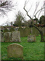
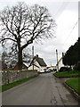

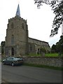
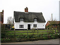
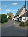
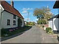
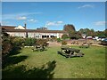
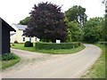

17 photos from this area
Area Information
Key information about the NR17 1LG including its size, population, and administrative classification.
- Area Type
- Postcode
- Area Size
- 9.8 hectares
- Population
- 1267
- Population Density
- 114 people/km²
House Prices in NR17 1LG
17
Properties
£251,188
Average Sold Price
£147,000
Lowest Price
£461,000
Highest Price
Showing 17 properties
| Address | Type | Beds | Baths | Last Sale Price | Last Sale Date | |
|---|---|---|---|---|---|---|
| Coromandel, Attleborough Road, Great Ellingham, NR17 1LG | Detached | 4 | - | £385,000 | Apr 2018 | |
| Cartref, Attleborough Road, Great Ellingham, NR17 1LG | house | - | - | £235,000 | Feb 2018 | |
| Home Turn House, Attleborough Road, Great Ellingham, NR17 1LG | Detached | 3 | 1 | £195,000 | Apr 2016 | |
| The Old Parsonage, Attleborough Road, Great Ellingham, NR17 1LG | Detached | 4 | 3 | £461,000 | May 2015 | |
| Perigord Vert, Attleborough Road, Great Ellingham, NR17 1LG | Bungalow | 4 | 2 | £240,000 | Aug 2014 | |
| Haven Cottage, Attleborough Road, Great Ellingham, NR17 1LG | house | 3 | 1 | £175,000 | Oct 2011 | |
| Church Cottage, Attleborough Road, Great Ellingham, NR17 1LG | Semi-detached | - | - | £171,500 | Nov 2006 | |
| Anadarko, Attleborough Road, Great Ellingham, NR17 1LG | Bungalow | 3 | 2 | £147,000 | Nov 1999 | |
| Pippin Cottage, Attleborough Road, Great Ellingham, NR17 1LG | Retail | 3 | 2 | - | - | |
| The Bungalow, Attleborough Road, Great Ellingham, NR17 1LG | Bungalow | 3 | - | - | - |
Page 1 of 2
Energy Efficiency in NR17 1LG
Amenities
Schools
| Rank | School | Type | Entry gender | Ages |
|---|
Explore more schools in this area
Go to Schools tabDemographics
Household Size
Two person
most common
Accommodation Type
Houses
most common
Tenure
83
majority
Ethnic Group
White
most common
Religion
N/A
most common
Household Composition
N/A
most common
Age
47
median
Adults (30-64 years)
most common
Household Deprivation
N/A
with no deprivation
NS-SEC
31
in Lower managerial occupations
Explore more demographic insights in this area
Go to Demographics tabPlanning
Planning Constraints
- Flood RiskPremium
- Ramsar Wetland SitesPremium
- Area of Outstanding Natural BeautyPremium
- Protected Nature ReservePremium
- Protected WoodlandPremium