Area Overview for NR16 1JJ
Photos of NR16 1JJ
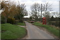
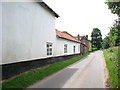
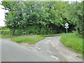
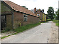
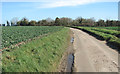
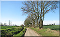
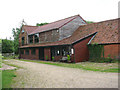
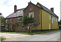
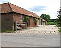
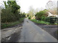
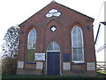
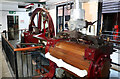
30 photos from this area
Area Information
Key information about the NR16 1JJ including its size, population, and administrative classification.
- Area Type
- Postcode
- Area Size
- 51.7 hectares
- Population
- 2797
- Population Density
- 104 people/km²
House Prices in NR16 1JJ
10
Properties
£284,188
Average Sold Price
£115,000
Lowest Price
£735,000
Highest Price
Showing 10 properties
| Address | Type | Beds | Baths | Last Sale Price | Last Sale Date | |
|---|---|---|---|---|---|---|
| Yew Tree Farm, Low Road, Forncett St Mary, NR16 1JJ | house | - | - | £735,000 | Jun 2020 | |
| Haystacks, Low Road, Forncett St Mary, NR16 1JJ | house | - | - | £160,000 | Jan 1998 | |
| Swan Meadow, Low Road, Forncett St Mary, NR16 1JJ | house | - | - | £126,750 | Mar 1996 | |
| Riverside Farm, Low Road, Forncett St Mary, NR16 1JJ | Detached | 4 | 3 | £115,000 | Jul 1995 | |
| Meadowcroft, Low Road, Forncett St Mary, NR16 1JJ | Semi-detached | - | - | - | - | |
| Hannays, Low Road, Forncett St Mary, NR16 1JJ | Terraced | - | - | - | - | |
| Lavender Cottage, Low Road, Forncett St Mary, NR16 1JJ | Detached | - | - | - | - | |
| The Hollies, Low Road, Forncett St Mary, NR16 1JJ | Bungalow | - | - | - | - | |
| Kingsmuir, Low Road, Forncett St Mary, NR16 1JJ | Detached | - | - | - | - | |
| Old Hall, Low Road, Forncett St Mary, NR16 1JJ | Detached | - | - | - | - |
Energy Efficiency in NR16 1JJ
Amenities
Schools
| Rank | School | Type | Entry gender | Ages |
|---|
Explore more schools in this area
Go to Schools tabDemographics
Household Size
Two person
most common
Accommodation Type
Houses
most common
Tenure
84
majority
Ethnic Group
White
most common
Religion
N/A
most common
Household Composition
N/A
most common
Age
47
median
Adults (30-64 years)
most common
Household Deprivation
N/A
with no deprivation
NS-SEC
39
in Lower managerial occupations
Explore more demographic insights in this area
Go to Demographics tabPlanning
Planning Constraints
- Flood RiskPremium
- Ramsar Wetland SitesPremium
- Area of Outstanding Natural BeautyPremium
- Protected Nature ReservePremium
- Protected WoodlandPremium