Area Overview for NR16 1HD
Photos of NR16 1HD
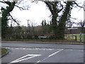
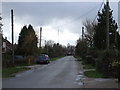
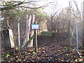
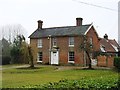
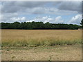
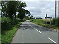
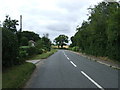
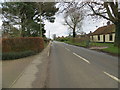
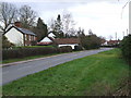
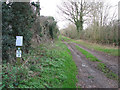
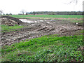
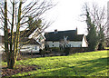
23 photos from this area
Area Information
Key information about the NR16 1HD including its size, population, and administrative classification.
- Area Type
- Postcode
- Area Size
- 18.9 hectares
- Population
- 2797
- Population Density
- 104 people/km²
House Prices in NR16 1HD
29
Properties
£303,869
Average Sold Price
£80,000
Lowest Price
£440,000
Highest Price
Showing 29 properties
| Address | Type | Beds | Baths | Last Sale Price | Last Sale Date | |
|---|---|---|---|---|---|---|
| 16 The Street, Ashwellthorpe, NR16 1HD | Retail | 4 | 2 | £436,000 | Mar 2022 | |
| 12 The Street, Ashwellthorpe, NR16 1HD | Bungalow | - | - | £365,000 | Mar 2022 | |
| 4 The Street, Ashwellthorpe, NR16 1HD | Bungalow | 4 | 2 | £440,000 | Jan 2019 | |
| 14 The Street, Ashwellthorpe, NR16 1HD | Detached | 4 | 2 | £380,000 | Aug 2018 | |
| 31 The Street, Ashwellthorpe, NR16 1HD | Detached | - | - | £320,000 | Mar 2006 | |
| 33 The Street, Ashwellthorpe, NR16 1HD | Detached | - | - | £259,950 | May 2005 | |
| 16A The Street, Ashwellthorpe, NR16 1HD | Detached | - | - | £150,000 | Jan 2003 | |
| 11 The Street, Ashwellthorpe, NR16 1HD | Detached | - | - | £80,000 | Jul 2000 | |
| 38 The Street, Ashwellthorpe, NR16 1HD | Detached | 5 | - | - | - | |
| 24A The Street, Ashwellthorpe, NR16 1HD | Detached | 4 | 3 | - | - |
Page 1 of 3
Energy Efficiency in NR16 1HD
Amenities
Schools
| Rank | School | Type | Entry gender | Ages |
|---|
Explore more schools in this area
Go to Schools tabDemographics
Household Size
Two person
most common
Accommodation Type
Houses
most common
Tenure
84
majority
Ethnic Group
White
most common
Religion
N/A
most common
Household Composition
N/A
most common
Age
47
median
Adults (30-64 years)
most common
Household Deprivation
N/A
with no deprivation
NS-SEC
39
in Lower managerial occupations
Explore more demographic insights in this area
Go to Demographics tabPlanning
Planning Constraints
- Flood RiskPremium
- Ramsar Wetland SitesPremium
- Area of Outstanding Natural BeautyPremium
- Protected Nature ReservePremium
- Protected WoodlandPremium