Area Overview for NR15 2AB
Photos of NR15 2AB
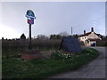
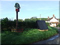
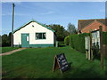
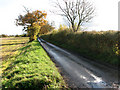
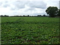
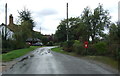
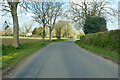
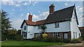
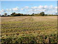
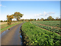
33 photos from this area
Area Information
Key information about the NR15 2AB including its size, population, and administrative classification.
- Area Type
- Postcode
- Area Size
- 27.1 hectares
- Population
- 1161
- Population Density
- 53 people/km²
House Prices in NR15 2AB
28
Properties
£251,083
Average Sold Price
£68,000
Lowest Price
£395,000
Highest Price
Showing 28 properties
| Address | Type | Beds | Baths | Last Sale Price | Last Sale Date | |
|---|---|---|---|---|---|---|
| Rosaire, The Street, Hardwick, NR15 2AB | Detached | 4 | 2 | £338,000 | Sep 2024 | |
| Maesllech, The Street, Hardwick, NR15 2AB | Bungalow | 4 | 2 | £325,000 | Oct 2023 | |
| Karanga, The Street, Hardwick, NR15 2AB | house | - | - | £365,000 | Jan 2021 | |
| The Laurels, The Street, Hardwick, NR15 2AB | Detached | 5 | - | £350,000 | Sep 2020 | |
| Ashdene, The Street, Hardwick, NR15 2AB | Bungalow | 3 | 1 | £280,000 | Apr 2019 | |
| Beechcroft, The Street, Hardwick, NR15 2AB | Detached | - | - | £395,000 | Aug 2006 | |
| Church Farm, The Street, Hardwick, NR15 2AB | Detached | 4 | - | £375,000 | Sep 2003 | |
| Swallows Rest, The Street, Hardwick, NR15 2AB | Detached | - | - | £192,000 | Aug 2002 | |
| Kituo, The Street, Hardwick, NR15 2AB | house | - | - | £100,000 | Jun 2000 | |
| Church House, The Street, Hardwick, NR15 2AB | Terraced | - | - | £105,000 | Aug 1999 |
Page 1 of 3
Energy Efficiency in NR15 2AB
Amenities
Schools
| Rank | School | Type | Entry gender | Ages |
|---|
Explore more schools in this area
Go to Schools tabDemographics
Household Size
Two person
most common
Accommodation Type
Houses
most common
Tenure
81
majority
Ethnic Group
White
most common
Religion
N/A
most common
Household Composition
N/A
most common
Age
47
median
Adults (30-64 years)
most common
Household Deprivation
N/A
with no deprivation
NS-SEC
33
in Lower managerial occupations
Explore more demographic insights in this area
Go to Demographics tabPlanning
Planning Constraints
- Flood RiskPremium
- Ramsar Wetland SitesPremium
- Area of Outstanding Natural BeautyPremium
- Protected Nature ReservePremium
- Protected WoodlandPremium