Area Overview for NR14 8LZ
Photos of NR14 8LZ
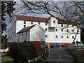
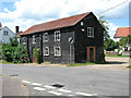
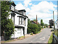
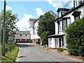
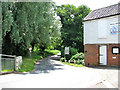
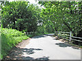
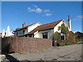
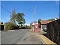
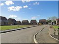
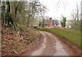
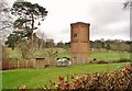
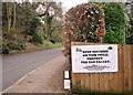
62 photos from this area
Area Information
Key information about the NR14 8LZ including its size, population, and administrative classification.
- Area Type
- Postcode
- Area Size
- 2.0 hectares
- Population
- 1752
- Population Density
- 270 people/km²
House Prices in NR14 8LZ
34
Properties
£206,559
Average Sold Price
£122,000
Lowest Price
£300,000
Highest Price
Showing 34 properties
| Address | Type | Beds | Baths | Last Sale Price | Last Sale Date | |
|---|---|---|---|---|---|---|
| 29 Pettingales, Stoke Holy Cross, NR14 8LZ | Bungalow | - | - | £270,000 | Oct 2025 | |
| 17 Pettingales, Stoke Holy Cross, NR14 8LZ | Semi-detached | 2 | 2 | £300,000 | Sep 2023 | |
| 34 Pettingales, Stoke Holy Cross, NR14 8LZ | Bungalow | - | - | £251,500 | Apr 2023 | |
| 26 Pettingales, Stoke Holy Cross, NR14 8LZ | Bungalow | - | - | £240,000 | Dec 2021 | |
| 20 Pettingales, Stoke Holy Cross, NR14 8LZ | house | - | - | £175,000 | Apr 2021 | |
| 28 Pettingales, Stoke Holy Cross, NR14 8LZ | Semi-detached | 2 | 1 | £167,500 | Feb 2020 | |
| 24 Pettingales, Stoke Holy Cross, NR14 8LZ | house | - | - | £186,150 | Mar 2016 | |
| 22 Pettingales, Stoke Holy Cross, NR14 8LZ | house | 3 | - | £185,000 | Aug 2015 | |
| 13 Pettingales, Stoke Holy Cross, NR14 8LZ | Terraced | 2 | 2 | £165,000 | Mar 2014 | |
| 10 Pettingales, Stoke Holy Cross, NR14 8LZ | house | 2 | - | £122,000 | Jul 2011 |
Page 1 of 4
Energy Efficiency in NR14 8LZ
Amenities
Schools
| Rank | School | Type | Entry gender | Ages |
|---|
Explore more schools in this area
Go to Schools tabDemographics
Household Size
Two person
most common
Accommodation Type
Houses
most common
Tenure
79
majority
Ethnic Group
White
most common
Religion
N/A
most common
Household Composition
N/A
most common
Age
47
median
Adults (30-64 years)
most common
Household Deprivation
N/A
with no deprivation
NS-SEC
43
in Lower managerial occupations
Explore more demographic insights in this area
Go to Demographics tabPlanning
Planning Constraints
- Flood RiskPremium
- Ramsar Wetland SitesPremium
- Area of Outstanding Natural BeautyPremium
- Protected Nature ReservePremium
- Protected WoodlandPremium