Area Overview for NR14 8FS
Photos of NR14 8FS
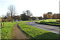
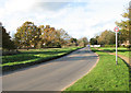
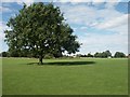
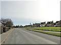
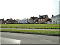
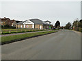
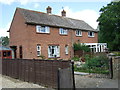
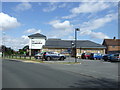
24 photos from this area
Area Information
Key information about the NR14 8FS including its size, population, and administrative classification.
- Area Type
- Postcode
- Area Size
- 1.3 hectares
- Population
- 1953
- Population Density
- 105 people/km²
House Prices in NR14 8FS
14
Properties
£387,283
Average Sold Price
£284,995
Lowest Price
£610,000
Highest Price
Showing 14 properties
| Address | Type | Beds | Baths | Last Sale Price | Last Sale Date | |
|---|---|---|---|---|---|---|
| 18 Sterlet Grove, Mulbarton, NR14 8FS | Detached | 4 | 2 | £405,000 | Nov 2025 | |
| 6 Sterlet Grove, Mulbarton, NR14 8FS | house | - | - | £420,000 | Feb 2025 | |
| 24 Sterlet Grove, Mulbarton, NR14 8FS | house | - | - | £557,000 | Sep 2023 | |
| 14 Sterlet Grove, Mulbarton, NR14 8FS | house | - | - | £490,000 | Sep 2021 | |
| 22 Sterlet Grove, Mulbarton, NR14 8FS | house | - | - | £284,995 | Jan 2018 | |
| 28 Sterlet Grove, Mulbarton, NR14 8FS | house | - | - | £610,000 | Dec 2017 | |
| 26 Sterlet Grove, Mulbarton, NR14 8FS | Detached | 4 | 2 | £394,995 | Nov 2017 | |
| 20 Sterlet Grove, Mulbarton, NR14 8FS | Detached | 3 | 2 | £284,995 | Nov 2017 | |
| 4 Sterlet Grove, Mulbarton, NR14 8FS | house | - | - | £284,995 | Aug 2017 | |
| 2 Sterlet Grove, Mulbarton, NR14 8FS | house | - | - | £319,995 | Jul 2017 |
Page 1 of 2
Energy Efficiency in NR14 8FS
Amenities
Schools
| Rank | School | Type | Entry gender | Ages |
|---|
Explore more schools in this area
Go to Schools tabDemographics
Household Size
Two person
most common
Accommodation Type
Houses
most common
Tenure
83
majority
Ethnic Group
White
most common
Religion
N/A
most common
Household Composition
N/A
most common
Age
47
median
Adults (30-64 years)
most common
Household Deprivation
N/A
with no deprivation
NS-SEC
45
in Lower managerial occupations
Explore more demographic insights in this area
Go to Demographics tabPlanning
Planning Constraints
- Flood RiskPremium
- Ramsar Wetland SitesPremium
- Area of Outstanding Natural BeautyPremium
- Protected Nature ReservePremium
- Protected WoodlandPremium