Area Overview for NR14 7RE
Photos of NR14 7RE
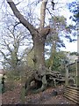
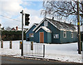
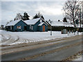
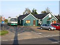
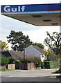
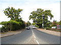
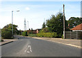
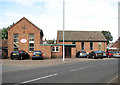
106 photos from this area
Area Information
Key information about the NR14 7RE including its size, population, and administrative classification.
- Area Type
- Postcode
- Area Size
- 1.3 hectares
- Population
- 1377
- Population Density
- 271 people/km²
House Prices in NR14 7RE
15
Properties
£253,993
Average Sold Price
£87,000
Lowest Price
£420,000
Highest Price
Showing 15 properties
| Address | Type | Beds | Baths | Last Sale Price | Last Sale Date | |
|---|---|---|---|---|---|---|
| 55A The Street, Poringland, NR14 7RE | Bungalow | 2 | 1 | £412,500 | Sep 2023 | |
| 63 The Street, Poringland, NR14 7RE | Bungalow | - | - | £420,000 | Jun 2021 | |
| 67 The Street, Poringland, NR14 7RE | Bungalow | - | - | £231,000 | Jun 2021 | |
| 61 The Street, Poringland, NR14 7RE | Detached | 3 | - | £311,000 | Oct 2014 | |
| 69 The Street, Poringland, NR14 7RE | Bungalow | - | - | £148,950 | Dec 2009 | |
| 59 The Street, Poringland, NR14 7RE | Bungalow | - | - | £299,995 | Oct 2009 | |
| 73 The Street, Poringland, NR14 7RE | Semi-detached | - | - | £121,500 | Jun 2002 | |
| 55 The Street, Poringland, NR14 7RE | Detached | - | - | £87,000 | May 2000 | |
| 45 The Street, Surlingham, NR14 7RE | Detached | 4 | - | - | - | |
| 47 The Street, Surlingham, NR14 7RE | Detached | - | - | - | - |
Page 1 of 2
Energy Efficiency in NR14 7RE
Amenities
Schools
| Rank | School | Type | Entry gender | Ages |
|---|
Explore more schools in this area
Go to Schools tabDemographics
Household Size
Two person
most common
Accommodation Type
Houses
most common
Tenure
82
majority
Ethnic Group
White
most common
Religion
N/A
most common
Household Composition
N/A
most common
Age
47
median
Adults (30-64 years)
most common
Household Deprivation
N/A
with no deprivation
NS-SEC
41
in Lower managerial occupations
Explore more demographic insights in this area
Go to Demographics tabPlanning
Planning Constraints
- Flood RiskPremium
- Ramsar Wetland SitesPremium
- Area of Outstanding Natural BeautyPremium
- Protected Nature ReservePremium
- Protected WoodlandPremium