Area Overview for NR14 7LH
Photos of NR14 7LH
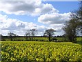
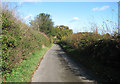
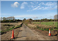
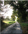
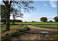
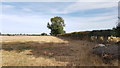
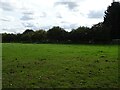
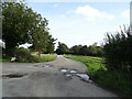
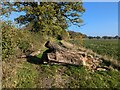
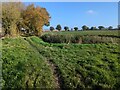
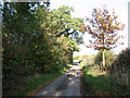
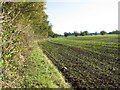
33 photos from this area
Area Information
Key information about the NR14 7LH including its size, population, and administrative classification.
- Area Type
- Postcode
- Area Size
- 57.4 hectares
- Population
- 1902
- Population Density
- 406 people/km²
House Prices in NR14 7LH
37
Properties
£181,676
Average Sold Price
£45,500
Lowest Price
£342,500
Highest Price
Showing 37 properties
| Address | Type | Beds | Baths | Last Sale Price | Last Sale Date | |
|---|---|---|---|---|---|---|
| 54 Howe Lane, Poringland, NR14 7LH | Semi-detached | 2 | 1 | £220,000 | Nov 2025 | |
| 58 Howe Lane, Poringland, NR14 7LH | Terraced | 3 | 2 | £222,500 | Feb 2025 | |
| 55 Howe Lane, Poringland, NR14 7LH | Detached | 3 | 1 | £342,500 | Oct 2018 | |
| 28 Howe Lane, Poringland, NR14 7LH | Terraced | 3 | 1 | £190,000 | Oct 2018 | |
| 41 Howe Lane, Poringland, NR14 7LH | Bungalow | 3 | 1 | £305,000 | Jan 2018 | |
| 62 Howe Lane, Poringland, NR14 7LH | Terraced | 3 | - | £120,000 | Sep 2017 | |
| 40 Howe Lane, Poringland, NR14 7LH | Bungalow | 2 | 1 | £185,000 | Dec 2016 | |
| 32 Howe Lane, Poringland, NR14 7LH | house | 3 | 1 | £160,000 | Jan 2016 | |
| 51 Howe Lane, Poringland, NR14 7LH | Detached | 5 | 2 | £313,000 | Dec 2015 | |
| 70 Howe Lane, Poringland, NR14 7LH | Semi-detached | 3 | 1 | £165,000 | Jul 2015 |
Page 1 of 4
Energy Efficiency in NR14 7LH
Amenities
Schools
| Rank | School | Type | Entry gender | Ages |
|---|
Explore more schools in this area
Go to Schools tabDemographics
Household Size
Two person
most common
Accommodation Type
Houses
most common
Tenure
70
majority
Ethnic Group
White
most common
Religion
N/A
most common
Household Composition
N/A
most common
Age
47
median
Adults (30-64 years)
most common
Household Deprivation
N/A
with no deprivation
NS-SEC
37
in Lower managerial occupations
Explore more demographic insights in this area
Go to Demographics tabPlanning
Planning Constraints
- Flood RiskPremium
- Ramsar Wetland SitesPremium
- Area of Outstanding Natural BeautyPremium
- Protected Nature ReservePremium
- Protected WoodlandPremium