Area Overview for NR13 6UU
Photos of NR13 6UU
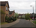
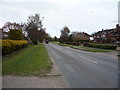
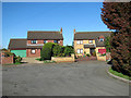
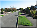
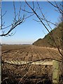
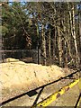
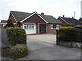
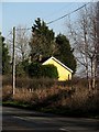
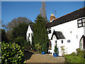
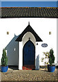
11 photos from this area
Area Information
Key information about the NR13 6UU including its size, population, and administrative classification.
- Area Type
- Postcode
- Area Size
- 3.0 hectares
- Population
- 2147
- Population Density
- 286 people/km²
House Prices in NR13 6UU
40
Properties
£413,542
Average Sold Price
£299,246
Lowest Price
£549,995
Highest Price
Showing 40 properties
| Address | Type | Beds | Baths | Last Sale Price | Last Sale Date | |
|---|---|---|---|---|---|---|
| 4 Salman Road, Rackheath, NR13 6UU | house | - | - | £309,696 | Mar 2025 | |
| 8 Salman Road, Rackheath, NR13 6UU | house | - | - | £359,096 | Mar 2025 | |
| 6 Salman Road, Rackheath, NR13 6UU | house | - | - | £359,096 | Feb 2025 | |
| 16 Salman Road, Rackheath, NR13 6UU | house | - | - | £436,996 | Dec 2024 | |
| 13 Salman Road, Sprowston, NR13 6UU | house | - | - | £459,995 | Oct 2024 | |
| 9 Salman Road, Rackheath, NR13 6UU | Semi-detached | - | - | £323,995 | Oct 2024 | |
| 11 Salman Road, Sprowston, NR13 6UU | house | - | - | £307,796 | Sep 2024 | |
| 15 Salman Road, Rackheath, NR13 6UU | house | - | - | £523,446 | Jun 2024 | |
| 21 Salman Road, Rackheath, NR13 6UU | house | - | - | £435,096 | Jun 2024 | |
| 18 Salman Road, Rackheath, NR13 6UU | house | - | - | £436,996 | May 2024 |
Page 1 of 4
Energy Efficiency in NR13 6UU
Amenities
Schools
| Rank | School | Type | Entry gender | Ages |
|---|
Explore more schools in this area
Go to Schools tabDemographics
Household Size
Family (3-5 people)
most common
Accommodation Type
Houses
most common
Tenure
78
majority
Ethnic Group
White
most common
Religion
N/A
most common
Household Composition
N/A
most common
Age
47
median
Adults (30-64 years)
most common
Household Deprivation
N/A
with no deprivation
NS-SEC
33
in Lower managerial occupations
Explore more demographic insights in this area
Go to Demographics tabPlanning
Planning Constraints
- Flood RiskPremium
- Ramsar Wetland SitesPremium
- Area of Outstanding Natural BeautyPremium
- Protected Nature ReservePremium
- Protected WoodlandPremium