Area Overview for NR13 6RE
Photos of NR13 6RE
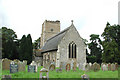
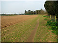
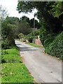
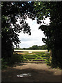
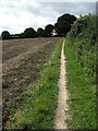
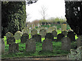
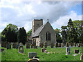
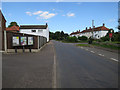
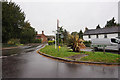
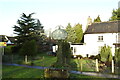
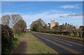
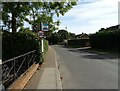
45 photos from this area
Area Information
Key information about the NR13 6RE including its size, population, and administrative classification.
- Area Type
- Postcode
- Area Size
- 26.8 hectares
- Population
- 1577
- Population Density
- 177 people/km²
House Prices in NR13 6RE
14
Properties
£353,063
Average Sold Price
£88,000
Lowest Price
£701,000
Highest Price
Showing 14 properties
| Address | Type | Beds | Baths | Last Sale Price | Last Sale Date | |
|---|---|---|---|---|---|---|
| Eastwood, 56 Lower Street, Salhouse, NR13 6RE | Bungalow | 3 | 1 | £320,000 | Mar 2024 | |
| 45 Lower Street, Salhouse, NR13 6RE | house | - | - | £350,000 | Sep 2021 | |
| School Farm, 41 Lower Street, Salhouse, NR13 6RE | Detached | 2 | 2 | £440,000 | Jun 2021 | |
| Beech Cottage, 51 Lower Street, Salhouse, NR13 6RE | Detached | 5 | 1 | £701,000 | Apr 2021 | |
| Juniper, 52 Lower Street, Salhouse, NR13 6RE | Bungalow | 3 | 1 | £293,000 | Nov 2018 | |
| Raydon Cottage, 43 Lower Street, Salhouse, NR13 6RE | Semi-detached | 3 | - | £212,500 | Oct 2011 | |
| High Meadow, 61 Lower Street, Salhouse, NR13 6RE | Bungalow | - | - | £420,000 | Dec 2009 | |
| Wood Cottage, 55 Lower Street, Salhouse, NR13 6RE | Detached | - | - | £88,000 | May 1997 | |
| The Barn, 49 Lower Street, Salhouse, NR13 6RE | Cottage | 3 | 1 | - | - | |
| Devanoal, 54 Lower Street, Salhouse, NR13 6RE | Detached | - | - | - | - |
Page 1 of 2
Energy Efficiency in NR13 6RE
Amenities
Schools
| Rank | School | Type | Entry gender | Ages |
|---|
Explore more schools in this area
Go to Schools tabDemographics
Household Size
Two person
most common
Accommodation Type
Houses
most common
Tenure
84
majority
Ethnic Group
White
most common
Religion
N/A
most common
Household Composition
N/A
most common
Age
47
median
Adults (30-64 years)
most common
Household Deprivation
N/A
with no deprivation
NS-SEC
36
in Lower managerial occupations
Explore more demographic insights in this area
Go to Demographics tabPlanning
Planning Constraints
- Flood RiskPremium
- Ramsar Wetland SitesPremium
- Area of Outstanding Natural BeautyPremium
- Protected Nature ReservePremium
- Protected WoodlandPremium