Area Overview for NR13 6EQ
Photos of NR13 6EQ
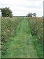
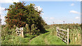
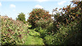
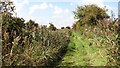
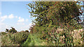
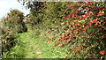
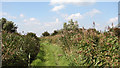
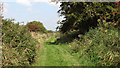
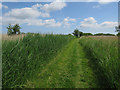
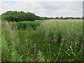
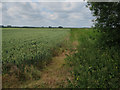
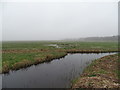
22 photos from this area
Area Information
Key information about the NR13 6EQ including its size, population, and administrative classification.
- Area Type
- Postcode
- Area Size
- 2.1 km²
- Population
- 1475
- Population Density
- 43 people/km²
House Prices in NR13 6EQ
17
Properties
£280,500
Average Sold Price
£119,000
Lowest Price
£497,500
Highest Price
Showing 17 properties
| Address | Type | Beds | Baths | Last Sale Price | Last Sale Date | |
|---|---|---|---|---|---|---|
| Mill View Barn, 11 Low Road, South Walsham, NR13 6EQ | Semi-detached | 4 | 4 | £225,000 | Aug 2025 | |
| Marshlands, 15 Low Road, South Walsham, NR13 6EQ | Semi-detached | 4 | 2 | £497,500 | Feb 2024 | |
| Ivy Farm, Low Road, South Walsham, NR13 6EQ | Detached | - | - | £119,000 | Oct 1998 | |
| Hope Cottage, 6 Low Road, South Walsham, NR13 6EQ | Detached | 3 | 1 | - | - | |
| Marsh Lodge, 4 Low Road, South Walsham, NR13 6EQ | Semi-detached | 3 | 1 | - | - | |
| Holly Lodge, Low Road, South Walsham, NR13 6EQ | barn | 4 | 4 | - | - | |
| Woodlands Lodge, 7 Low Road, South Walsham, NR13 6EQ | Detached | - | - | - | - | |
| Annexe, Low Farm, 9 Low Road, South Walsham, NR13 6EQ | Detached | - | - | - | - | |
| Annexe, Ivy Farm, Low Road, South Walsham, NR13 6EQ | Flat | - | - | - | - | |
| 15 Marsh Road, South Walsham, NR13 6EQ | Semi-detached | - | - | - | - |
Page 1 of 2
Energy Efficiency in NR13 6EQ
Amenities
Schools
| Rank | School | Type | Entry gender | Ages |
|---|
Explore more schools in this area
Go to Schools tabDemographics
Household Size
Two person
most common
Accommodation Type
Houses
most common
Tenure
75
majority
Ethnic Group
White
most common
Religion
N/A
most common
Household Composition
N/A
most common
Age
47
median
Adults (30-64 years)
most common
Household Deprivation
N/A
with no deprivation
NS-SEC
38
in Lower managerial occupations
Explore more demographic insights in this area
Go to Demographics tabPlanning
Planning Constraints
- Flood RiskPremium
- Ramsar Wetland SitesPremium
- Area of Outstanding Natural BeautyPremium
- Protected Nature ReservePremium
- Protected WoodlandPremium