Area Overview for NR13 6DY
Photos of NR13 6DY
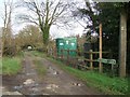
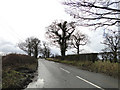
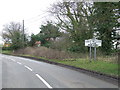
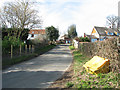
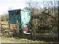
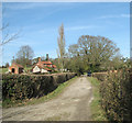
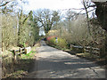
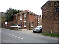
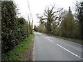
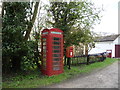
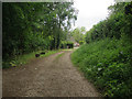
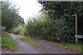
14 photos from this area
Area Information
Key information about the NR13 6DY including its size, population, and administrative classification.
- Area Type
- Postcode
- Area Size
- 24.8 hectares
- Population
- 2020
- Population Density
- 162 people/km²
House Prices in NR13 6DY
31
Properties
£215,048
Average Sold Price
£95,000
Lowest Price
£450,000
Highest Price
Showing 31 properties
| Address | Type | Beds | Baths | Last Sale Price | Last Sale Date | |
|---|---|---|---|---|---|---|
| 17 Panxworth Road, South Walsham, NR13 6DY | Bungalow | 1 | - | £135,000 | Oct 2024 | |
| 39 Panxworth Road, South Walsham, NR13 6DY | Semi-detached | 3 | 2 | £415,000 | May 2024 | |
| Moulmein, 9 Panxworth Road, South Walsham, NR13 6DY | Bungalow | 3 | 1 | £400,000 | Sep 2023 | |
| 35 Panxworth Road, South Walsham, NR13 6DY | Semi-detached | 3 | 1 | £202,000 | Apr 2019 | |
| Anchorage, 14 Panxworth Road, South Walsham, NR13 6DY | Semi-detached | 2 | 1 | £197,000 | Feb 2019 | |
| Hawthorns, 5 Panxworth Road, South Walsham, NR13 6DY | Bungalow | 3 | 2 | £300,000 | Nov 2018 | |
| 2 Panxworth Road, South Walsham, NR13 6DY | Detached | 3 | 2 | £365,000 | Aug 2018 | |
| 4A Panxworth Road, South Walsham, NR13 6DY | Detached | 3 | 2 | £275,000 | Jan 2018 | |
| 43 Panxworth Road, South Walsham, NR13 6DY | Detached | 6 | 4 | £450,000 | Jun 2016 | |
| 25 Panxworth Road, South Walsham, NR13 6DY | house | - | - | £156,500 | Feb 2014 |
Page 1 of 4
Energy Efficiency in NR13 6DY
Amenities
Schools
| Rank | School | Type | Entry gender | Ages |
|---|
Explore more schools in this area
Go to Schools tabDemographics
Household Size
Two person
most common
Accommodation Type
Houses
most common
Tenure
66
majority
Ethnic Group
White
most common
Religion
N/A
most common
Household Composition
N/A
most common
Age
47
median
Adults (30-64 years)
most common
Household Deprivation
N/A
with no deprivation
NS-SEC
37
in Lower managerial occupations
Explore more demographic insights in this area
Go to Demographics tabPlanning
Planning Constraints
- Flood RiskPremium
- Ramsar Wetland SitesPremium
- Area of Outstanding Natural BeautyPremium
- Protected Nature ReservePremium
- Protected WoodlandPremium