Area Overview for NR13 5RN
Photos of NR13 5RN
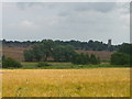
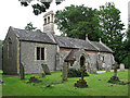
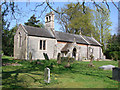
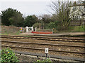
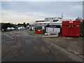
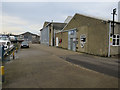
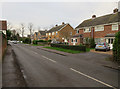
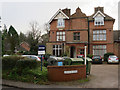
96 photos from this area
Area Information
Key information about the NR13 5RN including its size, population, and administrative classification.
- Area Type
- Postcode
- Area Size
- 7312 m²
- Population
- 1356
- Population Density
- 2854 people/km²
House Prices in NR13 5RN
13
Properties
£291,495
Average Sold Price
£114,950
Lowest Price
£510,000
Highest Price
Showing 13 properties
| Address | Type | Beds | Baths | Last Sale Price | Last Sale Date | |
|---|---|---|---|---|---|---|
| 2 Firtree Close, Brundall, NR13 5RN | Bungalow | 3 | 1 | £326,500 | Feb 2024 | |
| 10 Firtree Close, Brundall, NR13 5RN | Bungalow | 3 | 1 | £310,000 | Sep 2023 | |
| 4 Firtree Close, Brundall, NR13 5RN | Detached | 4 | 3 | £510,000 | Jul 2023 | |
| Kalamalka, 12 Firtree Close, Brundall, NR13 5RN | Bungalow | 3 | - | £360,000 | Jun 2021 | |
| 14 Firtree Close, Brundall, NR13 5RN | Bungalow | - | - | £305,000 | Jul 2018 | |
| 3 Firtree Close, Brundall, NR13 5RN | house | - | - | £150,000 | Nov 2017 | |
| 6 Firtree Close, Brundall, NR13 5RN | Detached | 4 | 2 | £425,000 | Jan 2017 | |
| 5 Firtree Close, Brundall, NR13 5RN | Bungalow | - | - | £220,000 | Jun 2015 | |
| 1 Firtree Close, Brundall, NR13 5RN | house | - | - | £250,000 | Jun 2015 | |
| 7 Firtree Close, Brundall, NR13 5RN | Detached | - | - | £235,000 | Jun 2011 |
Page 1 of 2
Energy Efficiency in NR13 5RN
Amenities
Schools
| Rank | School | Type | Entry gender | Ages |
|---|
Explore more schools in this area
Go to Schools tabDemographics
Household Size
Two person
most common
Accommodation Type
Houses
most common
Tenure
75
majority
Ethnic Group
White
most common
Religion
N/A
most common
Household Composition
N/A
most common
Age
47
median
Adults (30-64 years)
most common
Household Deprivation
N/A
with no deprivation
NS-SEC
35
in Lower managerial occupations
Explore more demographic insights in this area
Go to Demographics tabPlanning
Planning Constraints
- Flood RiskPremium
- Ramsar Wetland SitesPremium
- Area of Outstanding Natural BeautyPremium
- Protected Nature ReservePremium
- Protected WoodlandPremium