Area Overview for NR13 5RE
Photos of NR13 5RE
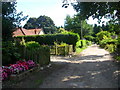
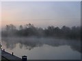
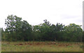
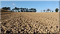
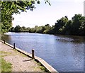
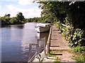
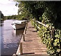
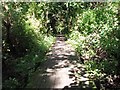
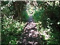
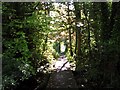
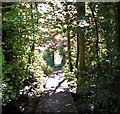
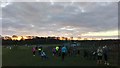
38 photos from this area
Area Information
Key information about the NR13 5RE including its size, population, and administrative classification.
- Area Type
- Postcode
- Area Size
- 2.8 hectares
- Population
- 1923
- Population Density
- 202 people/km²
House Prices in NR13 5RE
21
Properties
£263,200
Average Sold Price
£69,000
Lowest Price
£485,000
Highest Price
Showing 21 properties
| Address | Type | Beds | Baths | Last Sale Price | Last Sale Date | |
|---|---|---|---|---|---|---|
| Chetwynd Cottage, 8A Laurel Drive, Brundall, NR13 5RE | Bungalow | 2 | 1 | £220,000 | Oct 2023 | |
| The Tower, 8 Laurel Drive, Brundall, NR13 5RE | Detached | 4 | 2 | £485,000 | Nov 2022 | |
| Southern, 6 Laurel Drive, Brundall, NR13 5RE | Retail | 4 | 3 | £405,000 | Nov 2022 | |
| Wych Hazel, 10 Laurel Drive, Brundall, NR13 5RE | Bungalow | 2 | 1 | £320,000 | Jul 2022 | |
| Ashdown, 14 Laurel Drive, Brundall, NR13 5RE | Bungalow | 3 | 1 | £365,000 | Nov 2020 | |
| 5 Laurel Drive, Brundall, NR13 5RE | house | - | - | £325,000 | Feb 2020 | |
| Woodrows, 11A Laurel Drive, Brundall, NR13 5RE | Detached | 4 | 3 | £325,000 | May 2016 | |
| Spindles, 7 Laurel Drive, Brundall, NR13 5RE | Bungalow | 4 | - | £295,000 | Mar 2016 | |
| 9A Laurel Drive, Brundall, NR13 5RE | Detached | 3 | - | £340,000 | Oct 2014 | |
| 12 Laurel Drive, Brundall, NR13 5RE | Bungalow | - | - | £81,000 | Nov 2013 |
Page 1 of 3
Energy Efficiency in NR13 5RE
Amenities
Schools
| Rank | School | Type | Entry gender | Ages |
|---|
Explore more schools in this area
Go to Schools tabDemographics
Household Size
Two person
most common
Accommodation Type
Houses
most common
Tenure
84
majority
Ethnic Group
White
most common
Religion
N/A
most common
Household Composition
N/A
most common
Age
47
median
Adults (30-64 years)
most common
Household Deprivation
N/A
with no deprivation
NS-SEC
45
in Lower managerial occupations
Explore more demographic insights in this area
Go to Demographics tabPlanning
Planning Constraints
- Flood RiskPremium
- Ramsar Wetland SitesPremium
- Area of Outstanding Natural BeautyPremium
- Protected Nature ReservePremium
- Protected WoodlandPremium