Area Overview for NR13 5EL
Photos of NR13 5EL
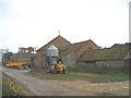
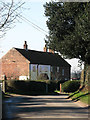
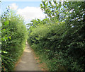
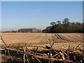
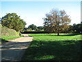
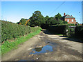
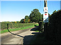
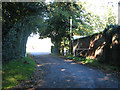
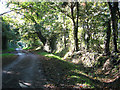
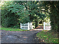
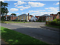
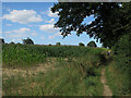
19 photos from this area
Area Information
Key information about the NR13 5EL including its size, population, and administrative classification.
- Area Type
- Postcode
- Area Size
- 73.7 hectares
- Population
- 2160
- Population Density
- 379 people/km²
House Prices in NR13 5EL
13
Properties
£267,700
Average Sold Price
£185,000
Lowest Price
£316,500
Highest Price
Showing 13 properties
| Address | Type | Beds | Baths | Last Sale Price | Last Sale Date | |
|---|---|---|---|---|---|---|
| 3 The Green, Little Plumstead, NR13 5EL | house | 4 | - | £285,000 | Aug 2015 | |
| 2 The Green, Little Plumstead, NR13 5EL | house | - | - | £316,500 | May 2015 | |
| 4 The Green, Little Plumstead, NR13 5EL | house | 4 | 2 | £290,000 | Apr 2015 | |
| 1 The Green, Little Plumstead, NR13 5EL | house | - | - | £185,000 | Sep 2008 | |
| 5 The Green, Little Plumstead, NR13 5EL | office_workshop | - | - | £262,000 | Nov 2006 | |
| 1, Manor Farm Cottages, The Green, Little Plumstead, NR13 5EL | Semi-detached | 3 | - | - | - | |
| The Manor House, The Green, Little Plumstead, NR13 5EL | house | 7 | - | - | - | |
| The Manor Cottage, 6 The Green, Little Plumstead, NR13 5EL | house | 4 | - | - | - | |
| 2, Manor Farm Cottages, The Green, Little Plumstead, NR13 5EL | house | 3 | - | - | - | |
| J R Cozens Wiley Ltd, Octagon Offices, Manor Farm, The Green, Little Plumstead, NR13 5EL | Office | - | - | - | - |
Page 1 of 2
Energy Efficiency in NR13 5EL
Amenities
Schools
| Rank | School | Type | Entry gender | Ages |
|---|
Explore more schools in this area
Go to Schools tabDemographics
Household Size
Family (3-5 people)
most common
Accommodation Type
Houses
most common
Tenure
78
majority
Ethnic Group
White
most common
Religion
N/A
most common
Household Composition
N/A
most common
Age
47
median
Adults (30-64 years)
most common
Household Deprivation
N/A
with no deprivation
NS-SEC
39
in Lower managerial occupations
Explore more demographic insights in this area
Go to Demographics tabPlanning
Planning Constraints
- Flood RiskPremium
- Ramsar Wetland SitesPremium
- Area of Outstanding Natural BeautyPremium
- Protected Nature ReservePremium
- Protected WoodlandPremium