Area Overview for NR13 5AA
Photos of NR13 5AA
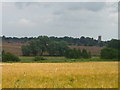
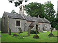
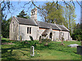
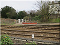
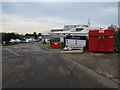
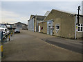
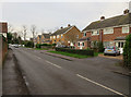
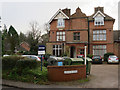
96 photos from this area
Area Information
Key information about the NR13 5AA including its size, population, and administrative classification.
- Area Type
- Postcode
- Area Size
- 3.0 hectares
- Population
- 1759
- Population Density
- 330 people/km²
House Prices in NR13 5AA
33
Properties
£284,491
Average Sold Price
£10,000
Lowest Price
£550,000
Highest Price
Showing 33 properties
| Address | Type | Beds | Baths | Last Sale Price | Last Sale Date | |
|---|---|---|---|---|---|---|
| The Barn, 43 The Street, Brundall, NR13 5AA | Semi-detached | 4 | 2 | £550,000 | Nov 2024 | |
| Laramie, 15 The Street, Brundall, NR13 5AA | Retail | 2 | 1 | £195,000 | Sep 2022 | |
| Broadacre, 23 The Street, Brundall, NR13 5AA | house | - | - | £10,000 | Sep 2021 | |
| Kale Cottage, 17 The Street, Brundall, NR13 5AA | Terraced | 2 | 1 | £210,000 | Apr 2021 | |
| Rose Cottage, 19 The Street, Brundall, NR13 5AA | Terraced | 2 | 2 | £160,000 | Mar 2019 | |
| Herons Hill, 35 The Street, Brundall, NR13 5AA | Semi-detached | 4 | 3 | £390,000 | Dec 2018 | |
| Dellhouse, 47C The Street, Brundall, NR13 5AA | house | - | - | £392,000 | Apr 2011 | |
| Dunelm House, 47B The Street, Brundall, NR13 5AA | house | - | - | £499,950 | Mar 2007 | |
| 37 The Street, Brundall, NR13 5AA | Detached | - | - | £299,950 | Nov 2003 | |
| Fleet House, 47 The Street, Brundall, NR13 5AA | house | - | - | £293,500 | Dec 2000 |
Page 1 of 4
Energy Efficiency in NR13 5AA
Amenities
Schools
| Rank | School | Type | Entry gender | Ages |
|---|
Explore more schools in this area
Go to Schools tabDemographics
Household Size
Two person
most common
Accommodation Type
Houses
most common
Tenure
85
majority
Ethnic Group
White
most common
Religion
N/A
most common
Household Composition
N/A
most common
Age
47
median
Adults (30-64 years)
most common
Household Deprivation
N/A
with no deprivation
NS-SEC
42
in Lower managerial occupations
Explore more demographic insights in this area
Go to Demographics tabPlanning
Planning Constraints
- Flood RiskPremium
- Ramsar Wetland SitesPremium
- Area of Outstanding Natural BeautyPremium
- Protected Nature ReservePremium
- Protected WoodlandPremium