Area Overview for NR13 3JE
Photos of NR13 3JE
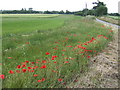
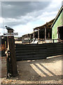

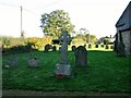
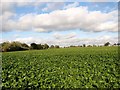
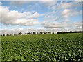
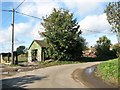
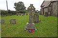
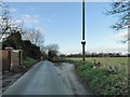
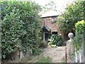
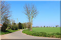
12 photos from this area
Area Information
Key information about the NR13 3JE including its size, population, and administrative classification.
- Area Type
- Postcode
- Area Size
- 17.3 hectares
- Population
- 1176
- Population Density
- 54 people/km²
House Prices in NR13 3JE
11
Properties
£173,957
Average Sold Price
£52,750
Lowest Price
£385,000
Highest Price
Showing 11 properties
| Address | Type | Beds | Baths | Last Sale Price | Last Sale Date | |
|---|---|---|---|---|---|---|
| 4 Cantley Road, Limpenhoe, NR13 3JE | house | - | - | £385,000 | Dec 2022 | |
| 1 Cantley Road, Limpenhoe, NR13 3JE | Semi-detached | 4 | 3 | £250,000 | Apr 2019 | |
| Whitegates, Cantley Road, Limpenhoe, NR13 3JE | Bungalow | - | - | £243,500 | Aug 2012 | |
| The Nook, Cantley Road, Limpenhoe, NR13 3JE | Bungalow | - | - | £99,950 | May 2002 | |
| 3 Cantley Road, Limpenhoe, NR13 3JE | Semi-detached | 3 | 1 | £70,500 | Dec 2000 | |
| California, Cantley Road, Limpenhoe, NR13 3JE | Detached | - | - | £116,000 | Jan 1996 | |
| Kenilworth, Cantley Road, Limpenhoe, NR13 3JE | Bungalow | 3 | - | £52,750 | Jan 1995 | |
| 5 Cantley Road, Limpenhoe, NR13 3JE | house | - | - | - | - | |
| 2 Cantley Road, Limpenhoe, NR13 3JE | Semi-detached | - | - | - | - | |
| 6 Cantley Road, Limpenhoe, NR13 3JE | house | - | - | - | - |
Page 1 of 2
Energy Efficiency in NR13 3JE
Amenities
Schools
| Rank | School | Type | Entry gender | Ages |
|---|
Explore more schools in this area
Go to Schools tabDemographics
Household Size
Two person
most common
Accommodation Type
Houses
most common
Tenure
78
majority
Ethnic Group
White
most common
Religion
N/A
most common
Household Composition
N/A
most common
Age
47
median
Adults (30-64 years)
most common
Household Deprivation
N/A
with no deprivation
NS-SEC
32
in Lower managerial occupations
Explore more demographic insights in this area
Go to Demographics tabPlanning
Planning Constraints
- Flood RiskPremium
- Ramsar Wetland SitesPremium
- Area of Outstanding Natural BeautyPremium
- Protected Nature ReservePremium
- Protected WoodlandPremium