Area Overview for NR12 8SB
Photos of NR12 8SB
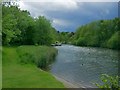
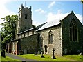
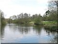
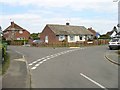
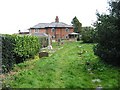
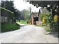
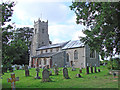
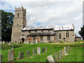
96 photos from this area
Area Information
Key information about the NR12 8SB including its size, population, and administrative classification.
- Area Type
- Postcode
- Area Size
- 2.6 hectares
- Population
- 1832
- Population Density
- 188 people/km²
House Prices in NR12 8SB
36
Properties
£243,683
Average Sold Price
£10,000
Lowest Price
£550,000
Highest Price
Showing 36 properties
| Address | Type | Beds | Baths | Last Sale Price | Last Sale Date | |
|---|---|---|---|---|---|---|
| 36 Park Road, Wroxham, NR12 8SB | Detached | 3 | 1 | £385,000 | Nov 2024 | |
| Wryde House, 15 Park Road, Wroxham, NR12 8SB | Detached | 4 | 1 | £480,000 | Jul 2023 | |
| 33 Park Road, Wroxham, NR12 8SB | house | 2 | 1 | £260,000 | Apr 2023 | |
| 7 Park Road, Wroxham, NR12 8SB | Retail | 3 | 1 | £329,500 | Oct 2022 | |
| 3 Park Road, Wroxham, NR12 8SB | Semi-detached | 4 | 1 | £225,000 | Aug 2022 | |
| 6 Park Road, Wroxham, NR12 8SB | house | - | - | £275,000 | Nov 2021 | |
| 42 Park Road, Wroxham, NR12 8SB | house | - | - | £215,000 | Nov 2021 | |
| 40 Park Road, Wroxham, NR12 8SB | Terraced | 2 | - | £230,000 | Aug 2021 | |
| 38 Park Road, Wroxham, NR12 8SB | Detached | 4 | - | £550,000 | May 2021 | |
| Cherry Trees, 11 Park Road, Wroxham, NR12 8SB | Detached | 3 | 1 | £273,000 | Apr 2021 |
Page 1 of 4
Energy Efficiency in NR12 8SB
Amenities
Schools
| Rank | School | Type | Entry gender | Ages |
|---|
Explore more schools in this area
Go to Schools tabDemographics
Household Size
Two person
most common
Accommodation Type
Houses
most common
Tenure
79
majority
Ethnic Group
White
most common
Religion
N/A
most common
Household Composition
N/A
most common
Age
47
median
Adults (30-64 years)
most common
Household Deprivation
N/A
with no deprivation
NS-SEC
35
in Lower managerial occupations
Explore more demographic insights in this area
Go to Demographics tabPlanning
Planning Constraints
- Flood RiskPremium
- Ramsar Wetland SitesPremium
- Area of Outstanding Natural BeautyPremium
- Protected Nature ReservePremium
- Protected WoodlandPremium