Area Overview for NR12 7JG
Photos of NR12 7JG
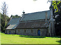
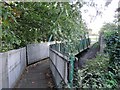
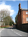
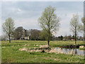
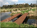
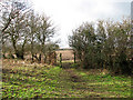

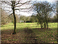
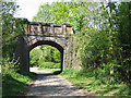
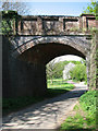
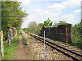
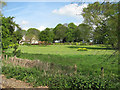
100 photos from this area
Area Information
Key information about the NR12 7JG including its size, population, and administrative classification.
- Area Type
- Postcode
- Area Size
- 2.0 hectares
- Population
- 1206
- Population Density
- 186 people/km²
House Prices in NR12 7JG
10
Properties
£476,500
Average Sold Price
£234,000
Lowest Price
£810,000
Highest Price
Showing 10 properties
| Address | Type | Beds | Baths | Last Sale Price | Last Sale Date | |
|---|---|---|---|---|---|---|
| Redbourne House, 27 Station Road, Coltishall, NR12 7JG | Detached | 5 | 2 | £810,000 | Nov 2024 | |
| Heron House, 29 Station Road, Coltishall, NR12 7JG | house | - | - | £385,500 | Aug 2019 | |
| Oakfield, 25 Station Road, Coltishall, NR12 7JG | Bungalow | - | - | £234,000 | Mar 2012 | |
| 31A Station Road, Coltishall, NR12 7JG | Bungalow | 2 | 1 | - | - | |
| 23 Station Road, Coltishall, NR12 7JG | Detached | 3 | 2 | - | - | |
| Station View, 29A Station Road, Coltishall, NR12 7JG | Detached | 4 | 4 | - | - | |
| 29B Station Road, Coltishall, NR12 7JG | Bungalow | - | - | - | - | |
| The Old Railway Station, 31 Station Road, Coltishall, NR12 7JG | house | - | - | - | - | |
| Oneida Villas, 21 Station Road, Coltishall, NR12 7JG | Semi-detached | - | - | - | - | |
| Bure Valley Railway, Station Road, Coltishall, NR12 7JG | commercial | - | - | - | - |
Energy Efficiency in NR12 7JG
Amenities
Schools
| Rank | School | Type | Entry gender | Ages |
|---|
Explore more schools in this area
Go to Schools tabDemographics
Household Size
Two person
most common
Accommodation Type
Houses
most common
Tenure
64
majority
Ethnic Group
White
most common
Religion
N/A
most common
Household Composition
N/A
most common
Age
47
median
Adults (30-64 years)
most common
Household Deprivation
N/A
with no deprivation
NS-SEC
32
in Lower managerial occupations
Explore more demographic insights in this area
Go to Demographics tabPlanning
Planning Constraints
- Flood RiskPremium
- Ramsar Wetland SitesPremium
- Area of Outstanding Natural BeautyPremium
- Protected Nature ReservePremium
- Protected WoodlandPremium