Area Overview for NR12 0BQ
Photos of NR12 0BQ
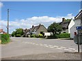
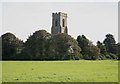
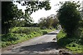
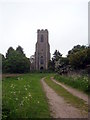
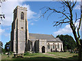
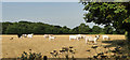
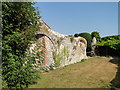
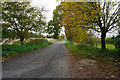
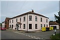
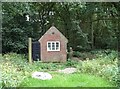
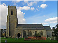
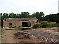
27 photos from this area
Area Information
Key information about the NR12 0BQ including its size, population, and administrative classification.
- Area Type
- Postcode
- Area Size
- 49.8 hectares
- Population
- 1356
- Population Density
- 82 people/km²
House Prices in NR12 0BQ
10
Properties
£409,000
Average Sold Price
£66,500
Lowest Price
£1,255,000
Highest Price
Showing 10 properties
| Address | Type | Beds | Baths | Last Sale Price | Last Sale Date | |
|---|---|---|---|---|---|---|
| The Cottage, Town Street, Hickling, NR12 0BQ | Detached | 2 | 1 | £160,000 | Jun 2025 | |
| Church Farm House, Town Street, Hickling, NR12 0BQ | house | - | - | £1,255,000 | Mar 2020 | |
| Keepers Cottage, Town Street, Hickling, NR12 0BQ | Detached | 2 | 1 | £268,000 | Aug 2019 | |
| The Old Vicarage, Town Street, Hickling, NR12 0BQ | house | - | - | £585,000 | Nov 2010 | |
| Church View, Town Street, Hickling, NR12 0BQ | Detached | - | - | £368,500 | Dec 2007 | |
| Gardenia, Town Street, Hickling, NR12 0BQ | Detached | - | - | £160,000 | Oct 2002 | |
| Town Cottage, Town Street, Hickling, NR12 0BQ | Detached | - | - | £66,500 | Aug 1998 | |
| Church Cottage, Town Street, Hickling, NR12 0BQ | Detached | - | - | - | - | |
| Applegate, Town Street, Hickling, NR12 0BQ | house | - | - | - | - | |
| Woodsend, Town Street, Hickling, NR12 0BQ | Detached | - | - | - | - |
Energy Efficiency in NR12 0BQ
Amenities
Schools
| Rank | School | Type | Entry gender | Ages |
|---|
Explore more schools in this area
Go to Schools tabDemographics
Household Size
Two person
most common
Accommodation Type
Houses
most common
Tenure
82
majority
Ethnic Group
White
most common
Religion
N/A
most common
Household Composition
N/A
most common
Age
47
median
Adults (30-64 years)
most common
Household Deprivation
N/A
with no deprivation
NS-SEC
30
in Lower managerial occupations
Explore more demographic insights in this area
Go to Demographics tabPlanning
Planning Constraints
- Flood RiskPremium
- Ramsar Wetland SitesPremium
- Area of Outstanding Natural BeautyPremium
- Protected Nature ReservePremium
- Protected WoodlandPremium