Area Overview for NR12 0AJ
Photos of NR12 0AJ
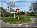
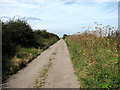
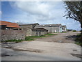
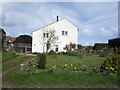
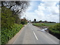
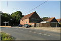
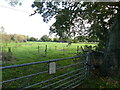
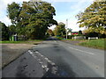
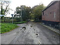
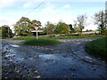
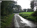
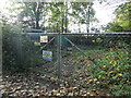
21 photos from this area
Area Information
Key information about the NR12 0AJ including its size, population, and administrative classification.
- Area Type
- Postcode
- Area Size
- 32.8 hectares
- Population
- 2361
- Population Density
- 67 people/km²
House Prices in NR12 0AJ
35
Properties
£296,643
Average Sold Price
£198,000
Lowest Price
£450,000
Highest Price
Showing 35 properties
| Address | Type | Beds | Baths | Last Sale Price | Last Sale Date | |
|---|---|---|---|---|---|---|
| The Old Post Office, Whimpwell Green, Happisburgh, NR12 0AJ | house | 3 | - | £450,000 | Aug 2022 | |
| Sunpatch, Whimpwell Green, Happisburgh, NR12 0AJ | Bungalow | 2 | 1 | £205,000 | Sep 2019 | |
| 2, Green Farm, Whimpwell Green, Happisburgh, NR12 0AJ | Bungalow | 3 | 2 | £348,000 | Aug 2015 | |
| The Turret, Whimpwell Green, Happisburgh, NR12 0AJ | Detached | 4 | 2 | £308,000 | Apr 2015 | |
| Holly Farm, Whimpwell Green, Happisburgh, NR12 0AJ | Detached | 4 | 4 | £250,000 | Nov 2012 | |
| Grimmerslea, Whimpwell Green, Happisburgh, NR12 0AJ | Bungalow | - | - | £198,000 | Nov 2010 | |
| White House, Whimpwell Green, Happisburgh, NR12 0AJ | Detached | 5 | 5 | £317,500 | Mar 2004 | |
| Elan, Whimpwell Green, Happisburgh, NR12 0AJ | Bungalow | 3 | 2 | - | - | |
| Green Farm, Whimpwell Green, Happisburgh, NR12 0AJ | Detached | 3 | 2 | - | - | |
| Bluebell House, Whimpwell Green, Happisburgh, NR12 0AJ | Retail | 3 | 3 | - | - |
Page 1 of 4
Energy Efficiency in NR12 0AJ
Amenities
Schools
| Rank | School | Type | Entry gender | Ages |
|---|
Explore more schools in this area
Go to Schools tabDemographics
Household Size
Two person
most common
Accommodation Type
Houses
most common
Tenure
74
majority
Ethnic Group
White
most common
Religion
N/A
most common
Household Composition
N/A
most common
Age
47
median
Adults (30-64 years)
most common
Household Deprivation
N/A
with no deprivation
NS-SEC
29
in Lower managerial occupations
Explore more demographic insights in this area
Go to Demographics tabPlanning
Planning Constraints
- Flood RiskPremium
- Ramsar Wetland SitesPremium
- Area of Outstanding Natural BeautyPremium
- Protected Nature ReservePremium
- Protected WoodlandPremium