Area Overview for NR12 0AA
Photos of NR12 0AA
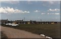
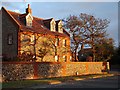
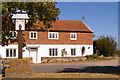
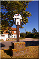
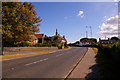
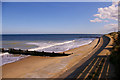
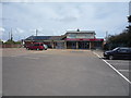
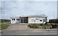
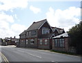
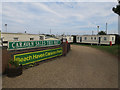
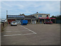
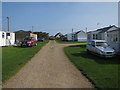
95 photos from this area
Area Information
Key information about the NR12 0AA including its size, population, and administrative classification.
- Area Type
- Postcode
- Area Size
- 2.2 hectares
- Population
- 1504
- Population Density
- 103 people/km²
House Prices in NR12 0AA
24
Properties
£158,994
Average Sold Price
£48,000
Lowest Price
£275,000
Highest Price
Showing 24 properties
| Address | Type | Beds | Baths | Last Sale Price | Last Sale Date | |
|---|---|---|---|---|---|---|
| Sandy Lodge, 5 Coast Road, Bacton, NR12 0AA | Semi-detached | 2 | - | £210,000 | Aug 2024 | |
| Woodcroft, 7 Coast Road, Bacton, NR12 0AA | Bungalow | - | - | £215,000 | Jun 2023 | |
| 6 Coast Road, Bacton, NR12 0AA | Bungalow | 2 | 2 | £275,000 | Nov 2022 | |
| The Oaks, Coast Road, Bacton, NR12 0AA | Detached | 3 | - | £225,000 | Sep 2015 | |
| Seamist, 10 Coast Road, Bacton, NR12 0AA | Detached | - | - | £163,000 | Mar 2012 | |
| The Post House, Coast Road, Bacton, NR12 0AA | Detached | 4 | 1 | £127,000 | Apr 2003 | |
| Gannymede, 4 Coast Road, Bacton, NR12 0AA | Bungalow | 2 | - | £99,950 | Jul 2002 | |
| 9 Coast Road, Bacton, NR12 0AA | Bungalow | - | - | £67,995 | Sep 2000 | |
| Ta Tsal, 1 Coast Road, Bacton, NR12 0AA | Mobile Home | 2 | 1 | £48,000 | Sep 1999 | |
| Sea Salt, Coast Road, Bacton, NR12 0AA | Bungalow | 3 | 1 | - | - |
Page 1 of 3
Energy Efficiency in NR12 0AA
Amenities
Schools
| Rank | School | Type | Entry gender | Ages |
|---|
Explore more schools in this area
Go to Schools tabDemographics
Household Size
Two person
most common
Accommodation Type
Houses
most common
Tenure
76
majority
Ethnic Group
White
most common
Religion
N/A
most common
Household Composition
N/A
most common
Age
47
median
Adults (30-64 years)
most common
Household Deprivation
N/A
with no deprivation
NS-SEC
28
in Lower managerial occupations
Explore more demographic insights in this area
Go to Demographics tabPlanning
Planning Constraints
- Flood RiskPremium
- Ramsar Wetland SitesPremium
- Area of Outstanding Natural BeautyPremium
- Protected Nature ReservePremium
- Protected WoodlandPremium