Area Overview for NR11 8JY
Photos of NR11 8JY
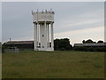
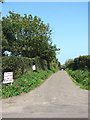


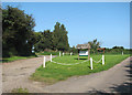
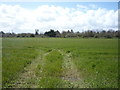
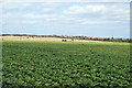
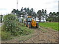
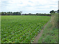
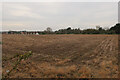
44 photos from this area
Area Information
Key information about the NR11 8JY including its size, population, and administrative classification.
- Area Type
- Postcode
- Area Size
- 1.4 hectares
- Population
- 1426
- Population Density
- 838 people/km²
House Prices in NR11 8JY
27
Properties
£208,625
Average Sold Price
£59,000
Lowest Price
£330,000
Highest Price
Showing 27 properties
| Address | Type | Beds | Baths | Last Sale Price | Last Sale Date | |
|---|---|---|---|---|---|---|
| 12 Hawthorn Rise, Mundesley, NR11 8JY | Bungalow | 2 | - | £310,000 | Jul 2025 | |
| 16 Hawthorn Rise, Mundesley, NR11 8JY | Semi-detached | 2 | 1 | £210,000 | Feb 2025 | |
| 3 Hawthorn Rise, Mundesley, NR11 8JY | Bungalow | 2 | 1 | £300,000 | Jul 2022 | |
| 13 Hawthorn Rise, Mundesley, NR11 8JY | Bungalow | 2 | - | £262,500 | Sep 2021 | |
| 14 Hawthorn Rise, Mundesley, NR11 8JY | Bungalow | - | - | £270,000 | Jun 2021 | |
| 25 Hawthorn Rise, Mundesley, NR11 8JY | Bungalow | 2 | 1 | £235,000 | Apr 2020 | |
| 2 Hawthorn Rise, Mundesley, NR11 8JY | Bungalow | 3 | 1 | £260,000 | Feb 2020 | |
| The Sidings, 21 Hawthorn Rise, Mundesley, NR11 8JY | Bungalow | 3 | - | £295,000 | Feb 2020 | |
| 1 Hawthorn Rise, Mundesley, NR11 8JY | Bungalow | 2 | 1 | £215,000 | Dec 2019 | |
| 27 Hawthorn Rise, Mundesley, NR11 8JY | Bungalow | - | - | £250,000 | Feb 2019 |
Page 1 of 3
Energy Efficiency in NR11 8JY
Amenities
Schools
| Rank | School | Type | Entry gender | Ages |
|---|
Explore more schools in this area
Go to Schools tabDemographics
Household Size
Two person
most common
Accommodation Type
Houses
most common
Tenure
75
majority
Ethnic Group
White
most common
Religion
N/A
most common
Household Composition
N/A
most common
Age
47
median
Elderly (65+ years)
most common
Household Deprivation
N/A
with no deprivation
NS-SEC
28
in Lower managerial occupations
Explore more demographic insights in this area
Go to Demographics tabPlanning
Planning Constraints
- Flood RiskPremium
- Ramsar Wetland SitesPremium
- Area of Outstanding Natural BeautyPremium
- Protected Nature ReservePremium
- Protected WoodlandPremium