Area Overview for NR11 8EX
Photos of NR11 8EX
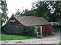
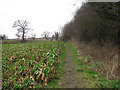
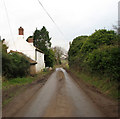
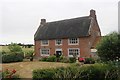
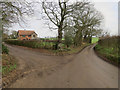
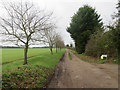
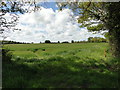
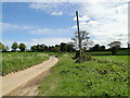
36 photos from this area
Area Information
Key information about the NR11 8EX including its size, population, and administrative classification.
- Area Type
- Postcode
- Area Size
- 75.9 hectares
- Population
- 2379
- Population Density
- 80 people/km²
House Prices in NR11 8EX
12
Properties
£230,390
Average Sold Price
£110,000
Lowest Price
£450,000
Highest Price
Showing 12 properties
| Address | Type | Beds | Baths | Last Sale Price | Last Sale Date | |
|---|---|---|---|---|---|---|
| Branford, 8 Southrepps Road, Gimingham, NR11 8EX | Semi-detached | 2 | 1 | £207,000 | Feb 2017 | |
| 9 Southrepps Road, Gimingham, NR11 8EX | house | - | - | £110,000 | Feb 2016 | |
| Garden Cottage, 10 Southrepps Road, Gimingham, NR11 8EX | Cottage | 5 | 2 | £185,000 | May 2012 | |
| Springfields, Southrepps Road, Gimingham, NR11 8EX | Detached | - | - | £199,950 | Oct 2006 | |
| John-of-gaunts Hall, Southrepps Road, Gimingham, NR11 8EX | Detached | - | - | £450,000 | Dec 2005 | |
| Royal Farmhouse, Southrepps Road, Gimingham, NR11 8EX | house | - | - | - | - | |
| Poppy Cottage, Royal Farm, Southrepps Road, Gimingham, NR11 8EX | house | - | - | - | - | |
| The Other Place, 11 Southrepps Road, Gimingham, NR11 8EX | Semi-detached | - | - | - | - | |
| Robin Cottage, Southrepps Road, Gimingham, NR11 8EX | house | - | - | - | - | |
| Japonica Cottage, Southrepps Road, Gimingham, NR11 8EX | Detached | - | - | - | - |
Page 1 of 2
Energy Efficiency in NR11 8EX
Amenities
Schools
| Rank | School | Type | Entry gender | Ages |
|---|
Explore more schools in this area
Go to Schools tabDemographics
Household Size
Two person
most common
Accommodation Type
Houses
most common
Tenure
75
majority
Ethnic Group
White
most common
Religion
N/A
most common
Household Composition
N/A
most common
Age
47
median
Adults (30-64 years)
most common
Household Deprivation
N/A
with no deprivation
NS-SEC
29
in Lower managerial occupations
Explore more demographic insights in this area
Go to Demographics tabPlanning
Planning Constraints
- Flood RiskPremium
- Ramsar Wetland SitesPremium
- Area of Outstanding Natural BeautyPremium
- Protected Nature ReservePremium
- Protected WoodlandPremium