Area Overview for NR11 6HL
Photos of NR11 6HL
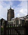
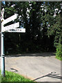
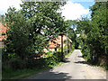
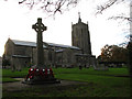
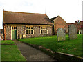
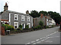
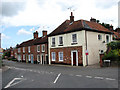
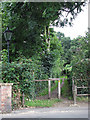
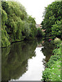
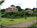
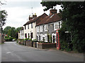
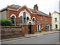
100 photos from this area
Area Information
Key information about the NR11 6HL including its size, population, and administrative classification.
- Area Type
- Postcode
- Area Size
- 2.0 hectares
- Population
- 2129
- Population Density
- 694 people/km²
House Prices in NR11 6HL
33
Properties
£287,805
Average Sold Price
£119,500
Lowest Price
£560,000
Highest Price
Showing 33 properties
| Address | Type | Beds | Baths | Last Sale Price | Last Sale Date | |
|---|---|---|---|---|---|---|
| 8 Bure Way, Aylsham, NR11 6HL | Detached | 3 | 2 | £556,000 | Mar 2025 | |
| 6 Bure Way, Aylsham, NR11 6HL | Detached | 4 | 2 | £466,207 | Nov 2024 | |
| 20 Bure Way, Aylsham, NR11 6HL | Detached | 3 | 2 | £446,000 | Nov 2024 | |
| 14 Bure Way, Aylsham, NR11 6HL | Semi-detached | 3 | 1 | £330,000 | Apr 2023 | |
| 2 Bure Way, Aylsham, NR11 6HL | house | - | - | £440,000 | Dec 2022 | |
| 4 Bure Way, Aylsham, NR11 6HL | Detached | 4 | 1 | £495,000 | Aug 2022 | |
| Millers Cottage, 39A Bure Way, Aylsham, NR11 6HL | Detached | 3 | 2 | £525,000 | Jan 2021 | |
| 9 Bure Way, Aylsham, NR11 6HL | Terraced | 2 | - | £170,000 | Feb 2017 | |
| 24 Bure Way, Aylsham, NR11 6HL | Bungalow | - | - | £223,000 | Oct 2013 | |
| 37 Bure Way, Aylsham, NR11 6HL | house | - | - | £225,500 | May 2013 |
Page 1 of 4
Energy Efficiency in NR11 6HL
Amenities
Schools
| Rank | School | Type | Entry gender | Ages |
|---|
Explore more schools in this area
Go to Schools tabDemographics
Household Size
Two person
most common
Accommodation Type
Houses
most common
Tenure
81
majority
Ethnic Group
White
most common
Religion
N/A
most common
Household Composition
N/A
most common
Age
47
median
Adults (30-64 years)
most common
Household Deprivation
N/A
with no deprivation
NS-SEC
37
in Lower managerial occupations
Explore more demographic insights in this area
Go to Demographics tabPlanning
Planning Constraints
- Flood RiskPremium
- Ramsar Wetland SitesPremium
- Area of Outstanding Natural BeautyPremium
- Protected Nature ReservePremium
- Protected WoodlandPremium